Arzignano night lights from space
Night Light of Arzignano (Veneto) from space (Italy) Src. Average luminocity for 10x10km area is 43.7227% and for 50x50km: 34.3467%.
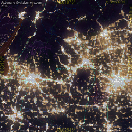
Analysis of Arzignano night lights 2016
Square area 10x10 km:
 7.73%
7.73%90-99
8.18%80-89
2.88%70-79
4.55%60-69
6.36%50-59
5%40-49
7.73%30-39
8.94%20-29
19.24%10-19
28.64%0-9
0.76%Square area 50x50 km:
4.41%90-99
6.16%80-89
3.32%70-79
3.76%60-69
4.35%50-59
5.74%40-49
6.68%30-39
7.68%20-29
14.84%10-19
18.21%0-9
24.85%Clear (daylight) street map image can be seen on geolist.org.
Map coordinates:
46° 0' 38.7" North, 10° 37' 52.8" East
45° 31' 13" North, 11° 20' 4.1" East
45° 1' 31.7" North, 12° 2' 15.3" East
Some cities around Arzignano sort by population:
• Montecchio Maggiore-Alte Ceccato
6.3 km =3.9 mi,  106°
106°
• Chiampo
5 km =3.1 mi,  306°
306°
• Altavilla Vicentina
10.5 km =6.5 mi,  94°
94°
• Creazzo
11.2 km =7 mi,  83°
83°
• Cornedo Vicentino
10.7 km =6.6 mi,  359°
359°
• Trissino
5.5 km =3.4 mi,  36°
36°
• Monteforte d'Alpone
11.8 km =7.3 mi,  199°
199°
• Montebello Vicentino
7.8 km =4.8 mi,  151°
151°
3182757 (p: 21,247)
Sources (retrieved 2019-11-25):
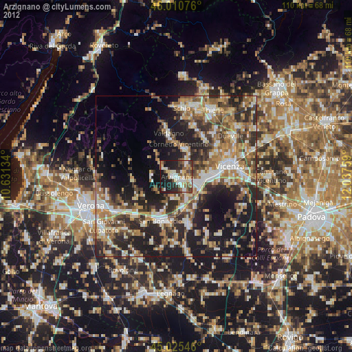
» Earth at Night: Flat Maps 2012, 2016