Melendugno night lights from space
Night Light of Melendugno (Apulia) from space (Italy) Src. Average luminocity for 10x10km area is 25.375% and for 50x50km: 23.058%.
Analysis of Melendugno night lights 2016
Square area 10x10 km:
 2.27%
2.27%90-99
4.22%80-89
2.92%70-79
3.08%60-69
2.11%50-59
0.49%40-49
3.25%30-39
4.55%20-29
8.12%10-19
43.99%0-9
25%Square area 50x50 km:
2.71%90-99
4.53%80-89
3.01%70-79
2.45%60-69
2.76%50-59
2.48%40-49
2.67%30-39
4.66%20-29
12.55%10-19
14.18%0-9
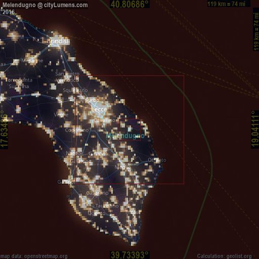
48%Clear (daylight) street map image can be seen on geolist.org.
Map coordinates:
40° 48' 24.7" North, 17° 38' 5.5" East
40° 16' 21.1" North, 18° 20' 16.7" East
39° 44' 2.1" North, 19° 2' 28" East
Some cities around Melendugno sort by population:
• Lecce
16.8 km =10.4 mi,  303°
303°
• Martano
8.4 km =5.2 mi,  201°
201°
• Cavallino
12.3 km =7.6 mi,  289°
289°
• Calimera
5.6 km =3.5 mi,  242°
242°
• San Cesario di Lecce
15.4 km =9.6 mi,  282°
282°
• Lizzanello
10.4 km =6.5 mi, 290°
• Corigliano d'Otranto
14.4 km =8.9 mi,  208°
208°
• Soleto
14.6 km =9.1 mi,  229°
229°
3173630 (p: 6,415)
Sources (retrieved 2019-11-25):
» Earth at Night: Flat Maps 2012, 2016