Martano night lights from space
Night Light of Martano (Apulia) from space (Italy) Src. Average luminocity for 10x10km area is 41.4286% and for 50x50km: 28.296%.
Analysis of Martano night lights 2016
Square area 10x10 km:
 2.6%
2.6%90-99
8.93%80-89
4.06%70-79
10.39%60-69
2.11%50-59
2.76%40-49
7.63%30-39
8.12%20-29
28.25%10-19
22.4%0-9
2.76%Square area 50x50 km:
3.19%90-99
5.56%80-89
3.64%70-79
2.94%60-69
3.71%50-59
3.03%40-49
3.18%30-39
5.99%20-29
16.81%10-19
15.96%0-9
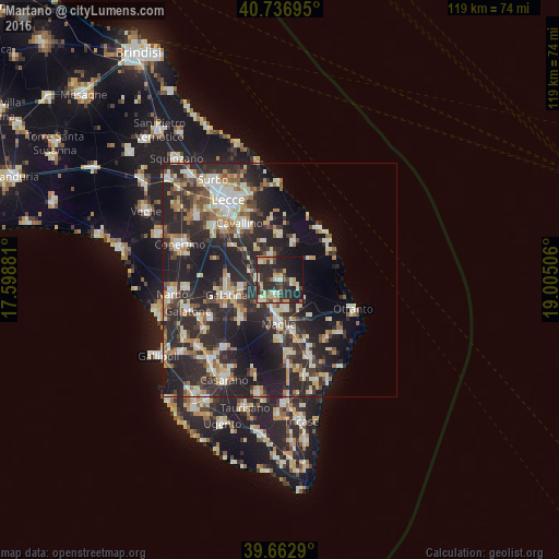
35.99%Clear (daylight) street map image can be seen on geolist.org.
Map coordinates:
40° 44' 13" North, 17° 35' 55.7" East
40° 12' 7.4" North, 18° 18' 6.9" East
39° 39' 46.4" North, 19° 0' 18.2" East
Some cities around Martano sort by population:
• Galatina
11.6 km =7.2 mi,  254°
254°
• Maglie
9.1 km =5.7 mi,  182°
182°
• Cutrofiano
11.9 km =7.4 mi,  225°
225°
• Calimera
5.6 km =3.5 mi,  340°
340°
• Scorrano
12.4 km =7.7 mi, 180°
• Melendugno
8.4 km =5.2 mi,  21°
21°
• Corigliano d'Otranto
6.2 km =3.9 mi,  219°
219°
• Soleto
8.3 km =5.2 mi,  258°
258°
3173857 (p: 9,320)
Sources (retrieved 2019-11-25):
» Earth at Night: Flat Maps 2012, 2016