Massa night lights from space
Night Light of Massa (Tuscany) from space (Italy) Src. Average luminocity for 10x10km area is 55.7159% and for 50x50km: 15.8763%.
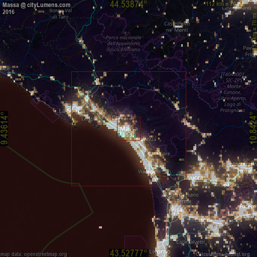
Analysis of Massa night lights 2016
Square area 10x10 km:
 11.9%
11.9%90-99
11.75%80-89
6.19%70-79
8.1%60-69
6.67%50-59
6.67%40-49
9.21%30-39
10.63%20-29
17.94%10-19
6.98%0-9
3.97%Square area 50x50 km:
2.41%90-99
3.01%80-89
1.39%70-79
1.59%60-69
1.61%50-59
2.45%40-49
2.6%30-39
2.7%20-29
6.31%10-19
9.98%0-9
65.94%Clear (daylight) street map image can be seen on geolist.org.
Map coordinates:
44° 32' 19.5" North, 9° 26' 10.1" East
44° 2' 7.5" North, 10° 8' 21.4" East
43° 31' 40" North, 10° 50' 32.6" East
Some cities around Massa sort by population:
• Carrara
5.9 km =3.7 mi,  325°
325°
• Marina di Carrara
7.8 km =4.8 mi,  272°
272°
• Marina di Massa
4.4 km =2.7 mi,  216°
216°
• Montignoso
2.9 km =1.8 mi,  115°
115°
• Ripa-Pozzi-Querceta-Ponterosso
8.2 km =5.1 mi,  141°
141°
• Capanne-Prato-Cinquale
4.5 km =2.8 mi,  162°
162°
• Forte dei Marmi
8.4 km =5.2 mi, 160°
• Casano-Dogana-Isola
9.5 km =5.9 mi,  297°
297°
3173775 (p: 64,783)
Sources (retrieved 2019-11-25):
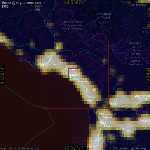
» NASA, Earths city lights 1995
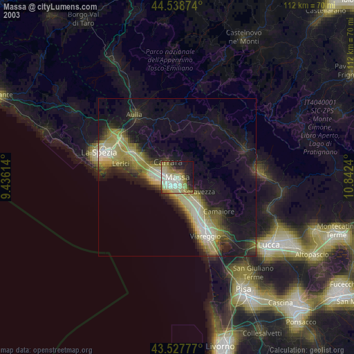
» NASA city lights 2003
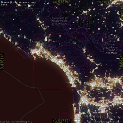
» Earth at Night: Flat Maps 2012, 2016