Lido di Ostia night lights from space
Night Light of Lido di Ostia (Latium) from space (Italy) Src. Average luminocity for 10x10km area is 55.5942% and for 50x50km: 31.0419%.
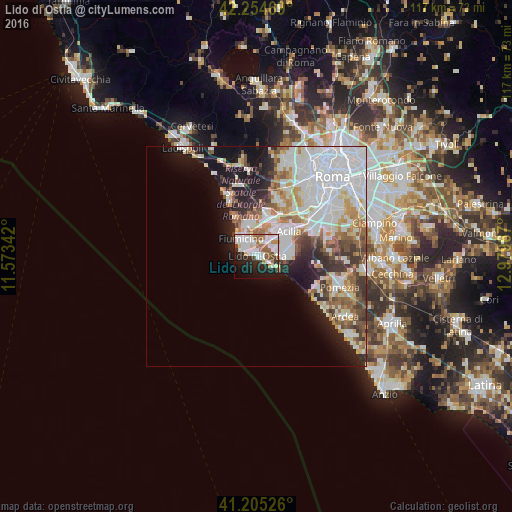
Analysis of Lido di Ostia night lights 2016
Square area 10x10 km:
 17.05%
90-99
17.86%80-89
3.08%70-79
1.79%60-69
7.79%50-59
6.49%40-49
3.08%30-39
2.44%20-29
14.94%10-19
18.34%0-9
7.14%Square area 50x50 km:
9.96%90-99
7.92%80-89
2.78%70-79
2.96%60-69
3.11%50-59
3.25%40-49
2.82%30-39
3%20-29
4.82%10-19
8.67%0-9
50.72%Clear (daylight) street map image can be seen on geolist.org.
Map coordinates:
42° 15' 16.9" North, 11° 34' 24.3" East
41° 43' 55.6" North, 12° 16' 35.5" East
41° 12' 18.9" North, 12° 58' 46.8" East
Some cities around Lido di Ostia sort by population:
• Acilia-Castel Fusano-Ostia Antica
5.7 km =3.5 mi,  52°
52°
• Fiumicino-Isola Sacra
5.4 km =3.4 mi,  322°
322°
• Casal Palocco
6.1 km =3.8 mi,  72°
72°
• Torvaianica
19.7 km =12.2 mi,  128°
128°
• La Massimina-Casal Lumbroso
17.1 km =10.6 mi,  22°
22°
• Selcetta
16.9 km =10.5 mi,  77°
77°
• Fregene
14.7 km =9.1 mi,  333°
333°
• Vitinia
12.7 km =7.9 mi,  58°
58°
3174741 (p: 79,400)
Sources (retrieved 2019-11-25):
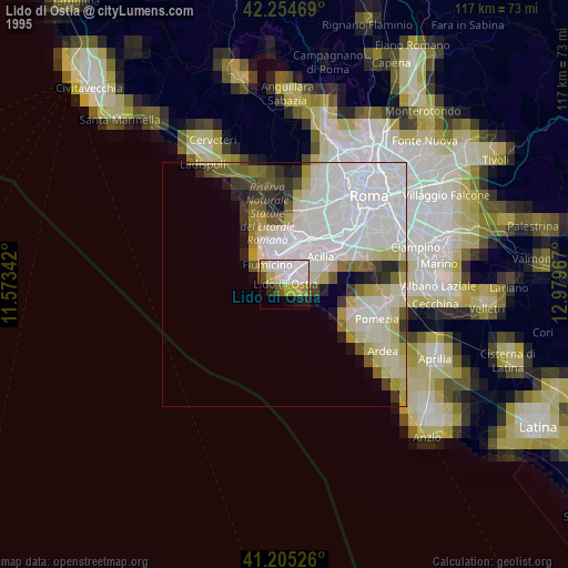
» NASA, Earths city lights 1995
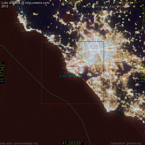
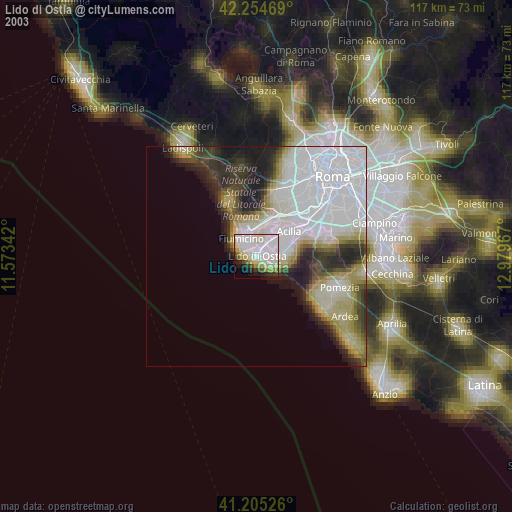
» NASA city lights 2003
» Earth at Night: Flat Maps 2012, 2016