Gallarate night lights from space
Night Light of Gallarate (Lombardy) from space (Italy) Src. Average luminocity for 10x10km area is 82.4333% and for 50x50km: 55.0803%.
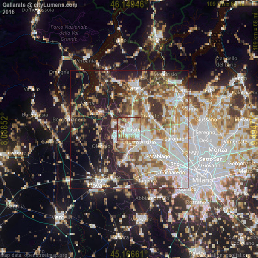
Analysis of Gallarate night lights 2016
Square area 10x10 km:
 21.67%
90-99
28.48%80-89
8.03%70-79
12.58%60-69
16.06%50-59
8.33%40-49
3.33%30-39
1.52%20-29
0%10-19
0%0-9
0%Square area 50x50 km:
12.43%90-99
13.67%80-89
5.56%70-79
6.78%60-69
8%50-59
7.26%40-49
6.67%30-39
7.46%20-29
11.13%10-19
12.94%0-9
8.08%Clear (daylight) street map image can be seen on geolist.org.
Map coordinates:
46° 8' 58.1" North, 8° 5' 18.7" East
45° 39' 36.7" North, 8° 47' 29.9" East
45° 9' 59.8" North, 9° 29' 41.2" East
Some cities around Gallarate sort by population:
• Cassano Magnago
3 km =1.9 mi,  64°
64°
• Samarate
4 km =2.5 mi,  187°
187°
• Cardano al Campo
2.1 km =1.3 mi,  234°
234°
• Fagnano Olona-Bergoro
5.4 km =3.4 mi,  78°
78°
• Ferno
5.7 km =3.5 mi,  208°
208°
• Casorate Sempione
3.8 km =2.4 mi,  288°
288°
• Cavaria Con Premezzo
3.7 km =2.3 mi,  13°
13°
• Besnate
4.7 km =2.9 mi,  336°
336°
3176391 (p: 50,439)
Sources (retrieved 2019-11-25):
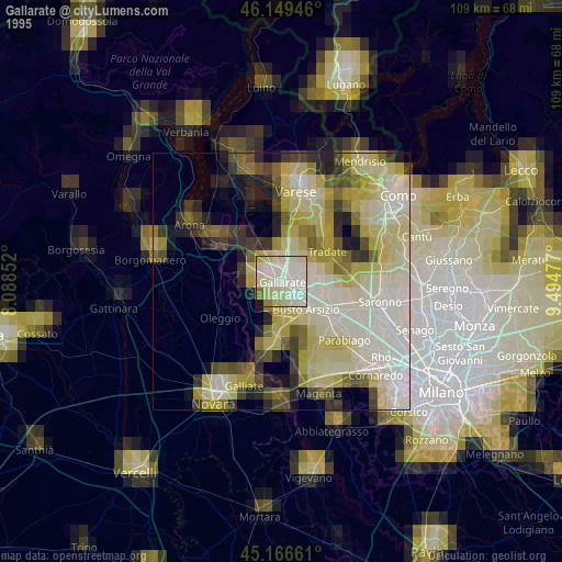
» NASA, Earths city lights 1995
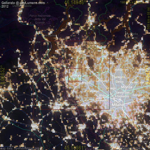
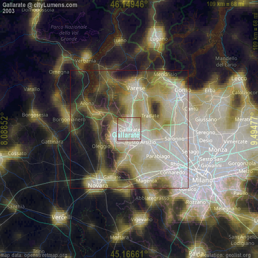
» NASA city lights 2003
» Earth at Night: Flat Maps 2012, 2016