Cornaredo night lights from space
Night Light of Cornaredo (Lombardy) from space (Italy) Src. Average luminocity for 10x10km area is 88.8063% and for 50x50km: 69.6781%.
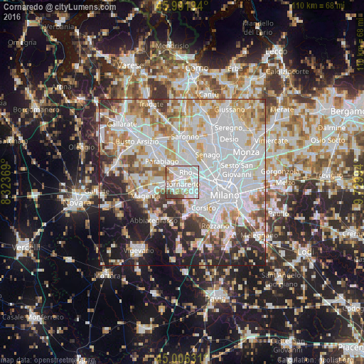
Analysis of Cornaredo night lights 2016
Square area 10x10 km:
 38.73%
90-99
31.27%80-89
9.05%70-79
4.29%60-69
5.71%50-59
5.08%40-49
2.54%30-39
3.33%20-29
0%10-19
0%0-9
0%Square area 50x50 km:
27.38%90-99
17.34%80-89
6.51%70-79
7.09%60-69
7.49%50-59
4.68%40-49
4.56%30-39
4.95%20-29
8.74%10-19
8.84%0-9
2.42%Clear (daylight) street map image can be seen on geolist.org.
Map coordinates:
45° 59' 31" North, 8° 19' 25.3" East
45° 30' 4.6" North, 9° 1' 36.5" East
45° 0' 22.7" North, 9° 43' 47.8" East
Some cities around Cornaredo sort by population:
• Rho
3.6 km =2.2 mi,  16°
16°
• Bareggio
3.3 km =2.1 mi,  222°
222°
• Settimo Milanese
3.5 km =2.2 mi,  139°
139°
• Sedriano
4.5 km =2.8 mi,  255°
255°
• Pero
4.8 km =3 mi,  78°
78°
• Pogliano Milanese
4.8 km =3 mi,  327°
327°
• Vanzago
3.9 km =2.4 mi,  314°
314°
• Pregnana Milanese
2.2 km =1.4 mi,  316°
316°
3178074 (p: 20,098)
Sources (retrieved 2019-11-25):
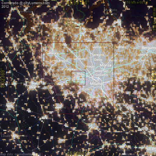
» Earth at Night: Flat Maps 2012, 2016