Corato night lights from space
Night Light of Corato (Apulia) from space (Italy) Src. Average luminocity for 10x10km area is 33.8977% and for 50x50km: 14.6651%.
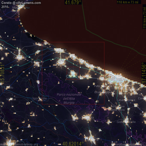
Analysis of Corato night lights 2016
Square area 10x10 km:
 5.36%
5.36%90-99
6.66%80-89
3.25%70-79
4.22%60-69
4.55%50-59
1.79%40-49
2.76%30-39
2.11%20-29
6.82%10-19
58.6%0-9
3.9%Square area 50x50 km:
2.3%90-99
2.67%80-89
1.48%70-79
1.31%60-69
1.63%50-59
1.23%40-49
1.12%30-39
1.81%20-29
6.54%10-19
15.74%0-9
64.17%Clear (daylight) street map image can be seen on geolist.org.
Map coordinates:
41° 40' 44.4" North, 15° 42' 29.9" East
41° 9' 6.2" North, 16° 24' 41.1" East
40° 37' 12.5" North, 17° 6' 52.4" East
Some cities around Corato sort by population:
• Andria
13 km =8.1 mi,  312°
312°
• Barletta
21.1 km =13.1 mi,  329°
329°
• Molfetta
16.6 km =10.3 mi,  70°
70°
• Trani
14 km =8.7 mi,  359°
359°
• Bisceglie
12.6 km =7.8 mi,  36°
36°
• Terlizzi
11.5 km =7.1 mi,  102°
102°
• Ruvo di Puglia
7.2 km =4.5 mi,  121°
121°
• Giovinazzo
22 km =13.7 mi,  80°
80°
3178131 (p: 46,505)
Sources (retrieved 2019-11-25):
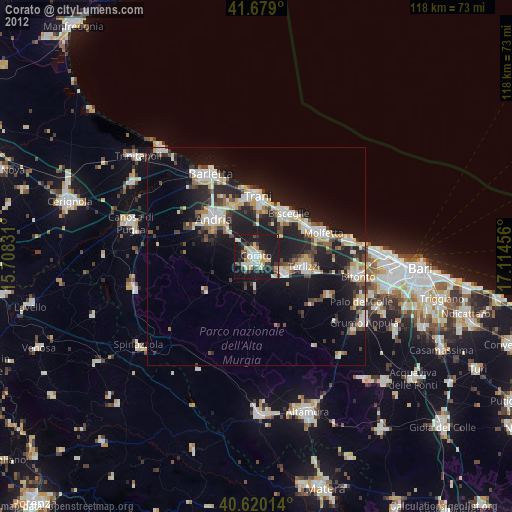
» Earth at Night: Flat Maps 2012, 2016