Molfetta night lights from space
Night Light of Molfetta (Apulia) from space (Italy) Src. Average luminocity for 10x10km area is 40.0422% and for 50x50km: 20.1494%.
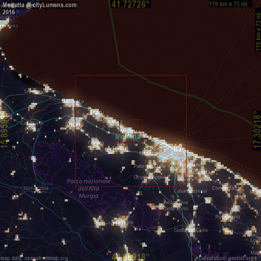
Analysis of Molfetta night lights 2016
Square area 10x10 km:
 7.14%
7.14%90-99
7.47%80-89
4.55%70-79
5.36%60-69
4.06%50-59
4.06%40-49
2.76%30-39
5.03%20-29
21.27%10-19
29.38%0-9
8.93%Square area 50x50 km:
4.54%90-99
3.94%80-89
1.97%70-79
1.9%60-69
1.96%50-59
1.83%40-49
1.69%30-39
2.76%20-29
7.65%10-19
15.97%0-9
55.79%Clear (daylight) street map image can be seen on geolist.org.
Map coordinates:
41° 43' 38.1" North, 15° 53' 45.3" East
41° 12' 1.3" North, 16° 35' 56.6" East
40° 40' 9" North, 17° 18' 7.8" East
Some cities around Molfetta sort by population:
• Trani
18 km =11.2 mi,  298°
298°
• Bisceglie
9.4 km =5.8 mi, 299°
• Bitonto
12.6 km =7.8 mi,  142°
142°
• Corato
16.6 km =10.3 mi,  250°
250°
• San Paolo
18.3 km =11.4 mi,  117°
117°
• Terlizzi
9.1 km =5.7 mi,  209°
209°
• Ruvo di Puglia
13.3 km =8.3 mi,  226°
226°
• Giovinazzo
6.2 km =3.9 mi,  105°
105°
3173287 (p: 59,557)
Sources (retrieved 2019-11-25):
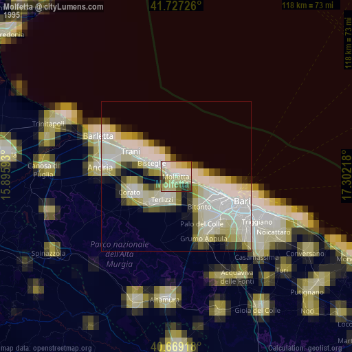
» NASA, Earths city lights 1995
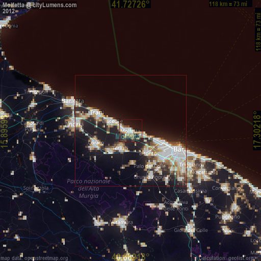
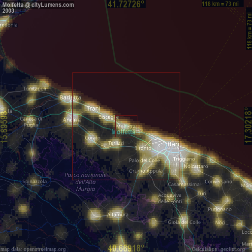
» NASA city lights 2003
» Earth at Night: Flat Maps 2012, 2016