Città di Castello night lights from space
Night Light of Città di Castello (Umbria) from space (Italy) Src. Average luminocity for 10x10km area is 24.9048% and for 50x50km: 4.462%.
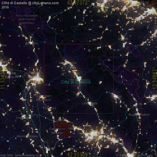
Analysis of Città di Castello night lights 2016
Square area 10x10 km:
 5.71%
5.71%90-99
4.92%80-89
3.33%70-79
0.63%60-69
1.59%50-59
2.54%40-49
0.95%30-39
0.32%20-29
5.4%10-19
35.24%0-9
39.37%Square area 50x50 km:
0.49%90-99
0.71%80-89
0.4%70-79
0.41%60-69
0.52%50-59
0.57%40-49
0.68%30-39
0.54%20-29
0.69%10-19
3.46%0-9
91.53%Clear (daylight) street map image can be seen on geolist.org.
Map coordinates:
43° 58' 25.4" North, 11° 32' 3.8" East
43° 27' 56" North, 12° 14' 15" East
42° 57' 11.1" North, 12° 56' 26.3" East
Some cities around Città di Castello sort by population:
• Arezzo
28.8 km =17.9 mi,  269°
269°
• Gubbio
30 km =18.6 mi,  115°
115°
• Sansepolcro
14.3 km =8.9 mi,  326°
326°
• Umbertide
19.8 km =12.3 mi,  155°
155°
• Castiglion Fiorentino
29 km =18 mi,  242°
242°
• Camucia-Monsigliolo
31.5 km =19.6 mi,  223°
223°
• Urbania
32.1 km =19.9 mi,  45°
45°
• Cagli
34.7 km =21.6 mi,  74°
74°
3178619 (p: 22,497)
Sources (retrieved 2019-11-25):
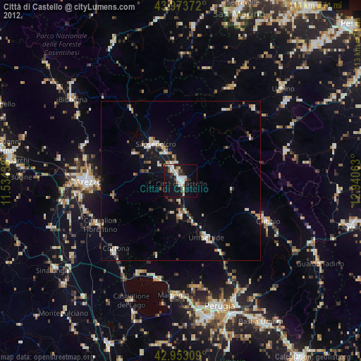
» Earth at Night: Flat Maps 2012, 2016