Cermenate night lights from space
Night Light of Cermenate (Lombardy) from space (Italy) Src. Average luminocity for 10x10km area is 87.1682% and for 50x50km: 69.2675%.
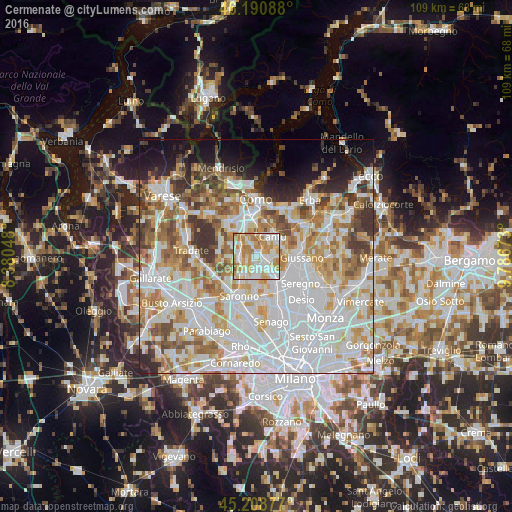
Analysis of Cermenate night lights 2016
Square area 10x10 km:
 26.82%
90-99
26.52%80-89
13.48%70-79
18.94%60-69
12.12%50-59
2.12%40-49
0%30-39
0%20-29
0%10-19
0%0-9
0%Square area 50x50 km:
25.22%90-99
17.67%80-89
6.81%70-79
8.2%60-69
8.84%50-59
5.99%40-49
5.04%30-39
5.04%20-29
4.06%10-19
5.84%0-9
7.28%Clear (daylight) street map image can be seen on geolist.org.
Map coordinates:
46° 11' 27.2" North, 8° 22' 49.7" East
45° 42' 7.1" North, 9° 5' 1" East
45° 12' 31.6" North, 9° 47' 12.2" East
Some cities around Cermenate sort by population:
• Lentate sul Seveso
3.9 km =2.4 mi,  137°
137°
• Fino Mornasco
5.2 km =3.2 mi,  330°
330°
• Lomazzo
3.9 km =2.4 mi,  261°
261°
• Lazzate
3.3 km =2.1 mi,  179°
179°
• Rovellasca
4.8 km =3 mi,  214°
214°
• Cadorago-Caslino al Piano
4.5 km =2.8 mi,  308°
308°
• Bregnano
1.9 km =1.2 mi, 256°
• San Michele-San Giorgio
2.1 km =1.3 mi,  250°
250°
3179070 (p: 8,995)
Sources (retrieved 2019-11-25):
» Earth at Night: Flat Maps 2012, 2016