Cecina night lights from space
Night Light of Cecina (Tuscany) from space (Italy) Src. Average luminocity for 10x10km area is 31.1848% and for 50x50km: 5.4133%.
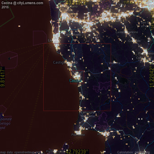
Analysis of Cecina night lights 2016
Square area 10x10 km:
 4.09%
4.09%90-99
6.97%80-89
1.97%70-79
5.45%60-69
3.48%50-59
2.58%40-49
3.33%30-39
3.64%20-29
1.97%10-19
45.76%0-9
20.76%Square area 50x50 km:
0.53%90-99
0.89%80-89
0.63%70-79
0.78%60-69
0.5%50-59
0.51%40-49
0.68%30-39
0.58%20-29
0.96%10-19
5.22%0-9
88.74%Clear (daylight) street map image can be seen on geolist.org.
Map coordinates:
43° 48' 56.6" North, 9° 48' 51" East
43° 18' 22.4" North, 10° 31' 2.2" East
42° 47' 32.6" North, 11° 13' 13.5" East
Some cities around Cecina sort by population:
• Livorno
30.6 km =19 mi,  329°
329°
• Rosignano Solvay-Castiglioncello
11.3 km =7 mi,  324°
324°
• Ponsacco
36.3 km =22.6 mi,  14°
14°
• Venturina
31.6 km =19.6 mi,  167°
167°
• Volterra
29.8 km =18.5 mi,  68°
68°
• Marina di Pisa-Tirrenia-Calambrone
40.1 km =24.9 mi, 333°
• San Vincenzo
24.1 km =15 mi,  175°
175°
• Donoratico
15.8 km =9.8 mi, 165°
3179235 (p: 22,018)
Sources (retrieved 2019-11-25):
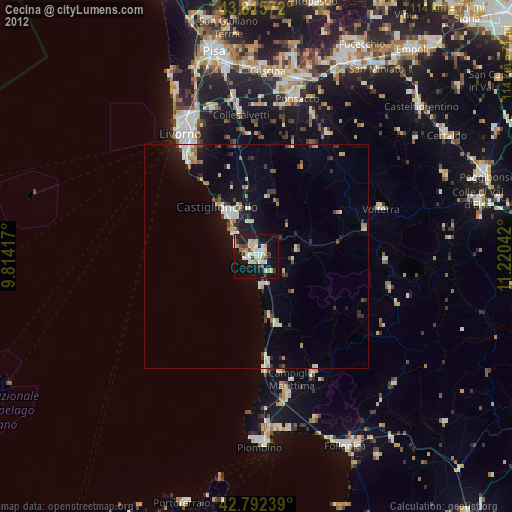
» Earth at Night: Flat Maps 2012, 2016