Carbonia night lights from space
Night Light of Carbonia (Sardinia) from space (Italy) Src. Average luminocity for 10x10km area is 18.2581% and for 50x50km: 4.6327%.
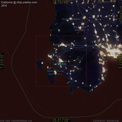
Analysis of Carbonia night lights 2016
Square area 10x10 km:
 0.97%
0.97%90-99
2.92%80-89
0.81%70-79
3.9%60-69
3.57%50-59
0.16%40-49
3.08%30-39
3.73%20-29
2.44%10-19
15.26%0-9
63.15%Square area 50x50 km:
0.25%90-99
0.67%80-89
0.52%70-79
0.69%60-69
0.86%50-59
0.38%40-49
0.5%30-39
0.93%20-29
0.69%10-19
1.46%0-9
93.05%Clear (daylight) street map image can be seen on geolist.org.
Map coordinates:
39° 42' 27.7" North, 7° 49' 5.4" East
39° 9' 52.7" North, 8° 31' 16.7" East
38° 37' 2.6" North, 9° 13' 27.9" East
Some cities around Carbonia sort by population:
• Iglesias
16.1 km =10 mi,  4°
4°
• Villacidro
37.6 km =23.4 mi,  30°
30°
• Capoterra
38.9 km =24.2 mi,  88°
88°
• Sant'Antioco
12.1 km =7.5 mi,  209°
209°
• Uta
39.7 km =24.7 mi,  69°
69°
• Gonnosfanadiga
38.6 km =24 mi,  18°
18°
• Domusnovas
20.9 km =13 mi, 31°
• Carloforte
18.9 km =11.7 mi,  261°
261°
2525362 (p: 21,664)
Sources (retrieved 2019-11-25):
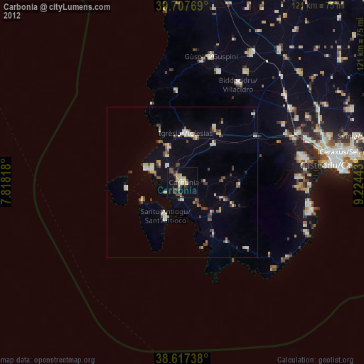
» Earth at Night: Flat Maps 2012, 2016