Iglesias night lights from space
Night Light of Iglesias (Sardinia) from space (Italy) Src. Average luminocity for 10x10km area is 18.8724% and for 50x50km: 4.8473%.
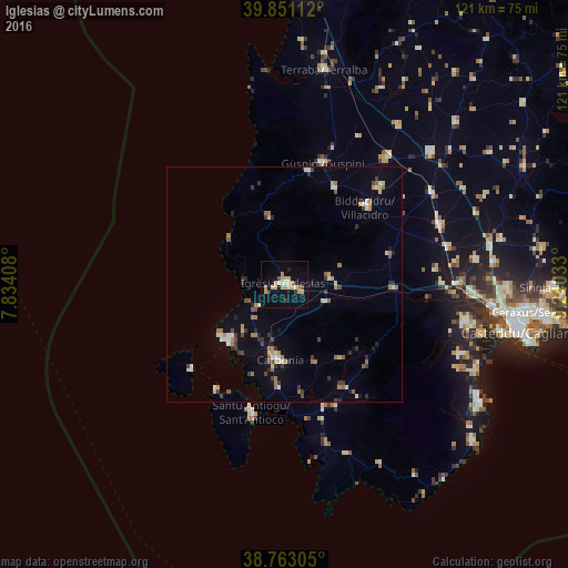
Analysis of Iglesias night lights 2016
Square area 10x10 km:
 1.53%
1.53%90-99
1.19%80-89
5.44%70-79
4.93%60-69
1.87%50-59
0.34%40-49
1.02%30-39
1.02%20-29
2.38%10-19
9.18%0-9
71.09%Square area 50x50 km:
0.33%90-99
0.68%80-89
0.53%70-79
0.63%60-69
0.91%50-59
0.35%40-49
0.54%30-39
0.94%20-29
0.71%10-19
1.53%0-9
92.85%Clear (daylight) street map image can be seen on geolist.org.
Map coordinates:
39° 51' 4" North, 7° 50' 2.7" East
39° 18' 33.1" North, 8° 32' 13.9" East
38° 45' 47" North, 9° 14' 25.2" East
Some cities around Iglesias sort by population:
• Carbonia
16.1 km =10 mi,  184°
184°
• Villacidro
24 km =14.9 mi,  46°
46°
• Guspini
27 km =16.8 mi,  18°
18°
• Sant'Antioco
27.6 km =17.1 mi,  195°
195°
• Gonnosfanadiga
23.2 km =14.4 mi,  27°
27°
• Domusnovas
9.8 km =6.1 mi,  80°
80°
• Arbus
24.7 km =15.3 mi,  12°
12°
• Carloforte
27.5 km =17.1 mi,  227°
227°
2524533 (p: 22,659)
Sources (retrieved 2019-11-25):
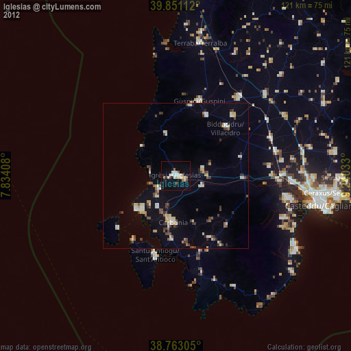
» Earth at Night: Flat Maps 2012, 2016