Capoterra night lights from space
Night Light of Capoterra (Sardinia) from space (Italy) Src. Average luminocity for 10x10km area is 27.8588% and for 50x50km: 13.6484%.
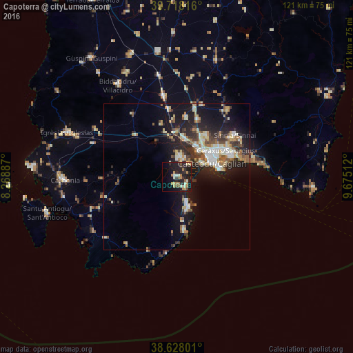
Analysis of Capoterra night lights 2016
Square area 10x10 km:
 0.81%
0.81%90-99
4.71%80-89
4.06%70-79
5.68%60-69
3.9%50-59
2.44%40-49
1.14%30-39
3.9%20-29
15.1%10-19
31.01%0-9
27.27%Square area 50x50 km:
1.61%90-99
2.73%80-89
1.73%70-79
1.41%60-69
1.81%50-59
1.35%40-49
1.68%30-39
2.19%20-29
4.79%10-19
10.97%0-9
69.73%Clear (daylight) street map image can be seen on geolist.org.
Map coordinates:
39° 43' 5.4" North, 8° 16' 7.9" East
39° 10' 30.7" North, 8° 58' 19.2" East
38° 37' 40.8" North, 9° 40' 30.4" East
Some cities around Capoterra sort by population:
• Cagliari
14.1 km =8.8 mi,  64°
64°
• Assemini
13.1 km =8.1 mi,  10°
10°
• Monserrato
17.4 km =10.8 mi, 58°
• Sestu
17.2 km =10.7 mi,  37°
37°
• Elmas
12.4 km =7.7 mi,  32°
32°
• La Maddalena
4.9 km =3 mi,  134°
134°
• Decimomannu
15 km =9.3 mi,  359°
359°
• Uta
13.1 km =8.1 mi,  352°
352°
2525379 (p: 11,255)
Sources (retrieved 2019-11-25):
» Earth at Night: Flat Maps 2012, 2016