Cantù night lights from space
Night Light of Cantù (Lombardy) from space (Italy) Src. Average luminocity for 10x10km area is 78.003% and for 50x50km: 62.9826%.
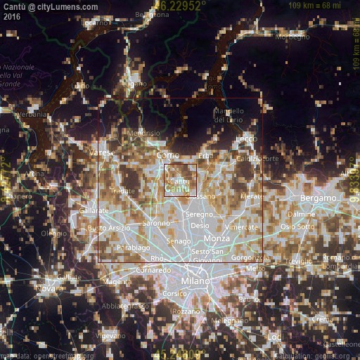
Analysis of Cantù night lights 2016
Square area 10x10 km:
 18.03%
90-99
19.24%80-89
11.21%70-79
15.76%60-69
16.82%50-59
9.09%40-49
9.09%30-39
0.76%20-29
0%10-19
0%0-9
0%Square area 50x50 km:
21.3%90-99
16.1%80-89
6.35%70-79
8.01%60-69
7.97%50-59
6.01%40-49
4.97%30-39
5.01%20-29
3.9%10-19
7.15%0-9
13.21%Clear (daylight) street map image can be seen on geolist.org.
Map coordinates:
46° 13' 46.3" North, 8° 25' 39.8" East
45° 44' 27.5" North, 9° 7' 51" East
45° 14' 53.1" North, 9° 50' 2.3" East
Some cities around Cantù sort by population:
• Mariano Comense
6.3 km =3.9 mi,  141°
141°
• Cermenate
5.7 km =3.5 mi,  220°
220°
• Inverigo
6.8 km =4.2 mi,  92°
92°
• Fino Mornasco
6.3 km =3.9 mi,  271°
271°
• Tavernerio
6.7 km =4.2 mi,  6°
6°
• Lipomo
5.8 km =3.6 mi,  351°
351°
• Carugo
6.3 km =3.9 mi,  125°
125°
• Capiago-Intimiano-Olmeda
3.1 km =1.9 mi,  355°
355°
3180758 (p: 37,273)
Sources (retrieved 2019-11-25):
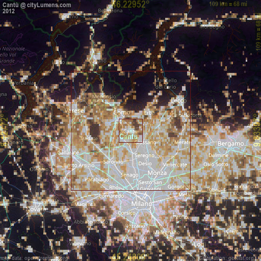
» Earth at Night: Flat Maps 2012, 2016