Brindisi night lights from space
Night Light of Brindisi (Apulia) from space (Italy) Src. Average luminocity for 10x10km area is 54.5601% and for 50x50km: 13.0333%.
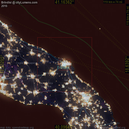
Analysis of Brindisi night lights 2016
Square area 10x10 km:
 15.75%
90-99
14.61%80-89
3.73%70-79
2.76%60-69
7.47%50-59
4.06%40-49
3.25%30-39
8.77%20-29
23.05%10-19
16.4%0-9
0.16%Square area 50x50 km:
1.57%90-99
1.91%80-89
1.26%70-79
1.04%60-69
1.41%50-59
1.62%40-49
1.32%30-39
1.91%20-29
3.96%10-19
18.71%0-9
65.27%Clear (daylight) street map image can be seen on geolist.org.
Map coordinates:
41° 9' 49" North, 17° 13' 58.6" East
40° 37' 55.7" North, 17° 56' 9.9" East
40° 5' 47.1" North, 18° 38' 21.1" East
Some cities around Brindisi sort by population:
• Mesagne
13.6 km =8.5 mi,  232°
232°
• San Vito dei Normanni
19.4 km =12.1 mi,  277°
277°
• Latiano
20.5 km =12.7 mi,  243°
243°
• Squinzano
23.6 km =14.7 mi,  157°
157°
• San Pietro Vernotico
16.8 km =10.4 mi, 161°
• San Donaci
20.4 km =12.7 mi,  183°
183°
• Cellino San Marco
18 km =11.2 mi,  172°
172°
• Torchiarolo
19.2 km =11.9 mi,  149°
149°
3181528 (p: 78,548)
Sources (retrieved 2019-11-25):
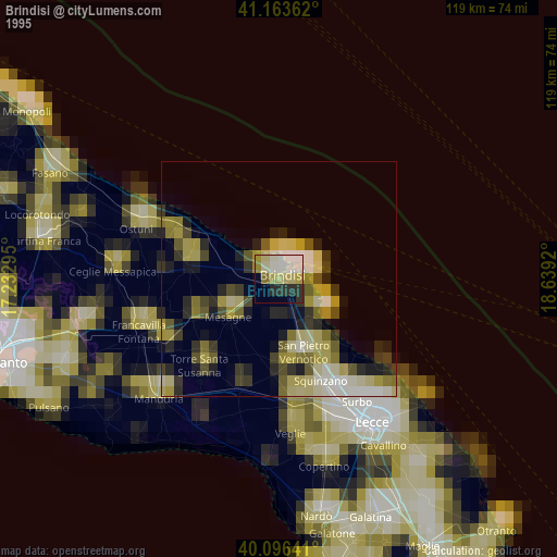
» NASA, Earths city lights 1995
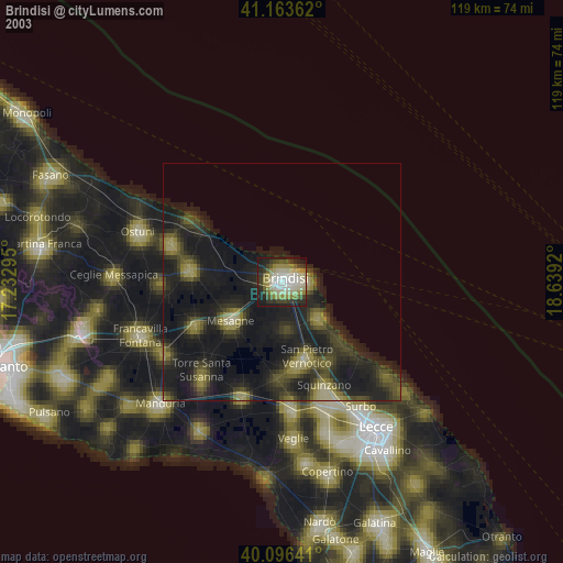
» NASA city lights 2003
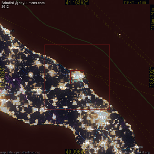
» Earth at Night: Flat Maps 2012, 2016