San Donaci night lights from space
Night Light of San Donaci (Apulia) from space (Italy) Src. Average luminocity for 10x10km area is 23.2534% and for 50x50km: 23.2951%.
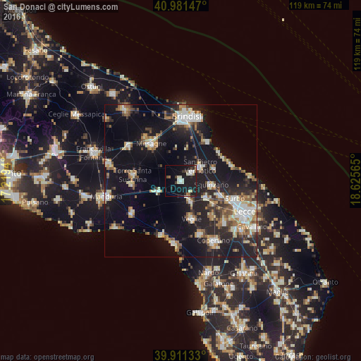
Analysis of San Donaci night lights 2016
Square area 10x10 km:
 3.06%
3.06%90-99
5.61%80-89
2.38%70-79
0.68%60-69
2.04%50-59
1.19%40-49
1.87%30-39
2.55%20-29
4.76%10-19
37.41%0-9
38.44%Square area 50x50 km:
3.25%90-99
4.19%80-89
2.49%70-79
2.32%60-69
3.11%50-59
2.77%40-49
2.38%30-39
3.05%20-29
6.94%10-19
23.21%0-9
46.28%Clear (daylight) street map image can be seen on geolist.org.
Map coordinates:
40° 58' 53.3" North, 17° 13' 9.8" East
40° 26' 54.7" North, 17° 55' 21.1" East
39° 54' 40.8" North, 18° 37' 32.3" East
Some cities around San Donaci sort by population:
• Squinzano
10.1 km =6.3 mi,  98°
98°
• Veglie
13.1 km =8.1 mi,  165°
165°
• San Pietro Vernotico
7.8 km =4.8 mi,  54°
54°
• Campi Salentina
10.1 km =6.3 mi,  124°
124°
• San Pancrazio Salentino
8.2 km =5.1 mi,  245°
245°
• Salice Salentino
7.8 km =4.8 mi,  155°
155°
• Cellino San Marco
4.3 km =2.7 mi, 54°
• Torchiarolo
11.6 km =7.2 mi,  70°
70°
3168430 (p: 6,840)
Sources (retrieved 2019-11-25):
» Earth at Night: Flat Maps 2012, 2016