Albisola Marina night lights from space
Night Light of Albisola Marina (Liguria) from space (Italy) Src. Average luminocity for 10x10km area is 34.4286% and for 50x50km: 8.552%.
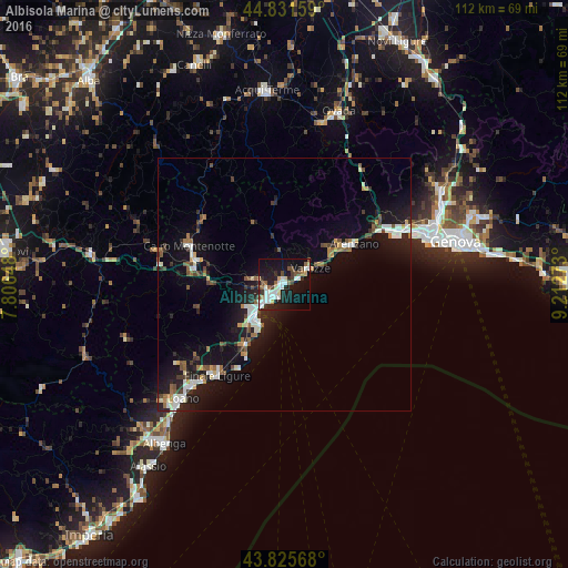
Analysis of Albisola Marina night lights 2016
Square area 10x10 km:
 7.46%
7.46%90-99
9.21%80-89
1.59%70-79
2.22%60-69
2.06%50-59
3.97%40-49
5.08%30-39
2.86%20-29
9.68%10-19
35.08%0-9
20.79%Square area 50x50 km:
1.14%90-99
1.69%80-89
0.52%70-79
0.64%60-69
0.85%50-59
1.14%40-49
1.14%30-39
1.05%20-29
2.08%10-19
8.98%0-9
80.76%Clear (daylight) street map image can be seen on geolist.org.
Map coordinates:
44° 49' 53.7" North, 7° 48' 23.3" East
44° 19' 50.8" North, 8° 30' 34.6" East
43° 49' 32.4" North, 9° 12' 45.8" East
Some cities around Albisola Marina sort by population:
• Savona
3.5 km =2.2 mi,  226°
226°
• Varazze
7.8 km =4.8 mi,  61°
61°
• Arenzano
16.1 km =10 mi, 59°
• Cairo Montenotte
19.9 km =12.4 mi,  292°
292°
• Vado Ligure
9.1 km =5.7 mi,  221°
221°
• Cogoleto
12.7 km =7.9 mi, 58°
• Carcare
17.6 km =10.9 mi,  278°
278°
• Vado Centro
9.3 km =5.8 mi, 221°
3183314 (p: 5,314)
Sources (retrieved 2019-11-25):
» Earth at Night: Flat Maps 2012, 2016