Umm Qaşr night lights from space
Night Light of Umm Qaşr (Basra) from space (Iraq) Src. Average luminocity for 10x10km area is 68.108% and for 50x50km: 34.3996%.
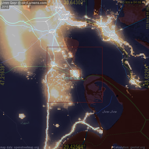

Analysis of Umm Qaşr night lights 2016
Square area 10x10 km:
 18.75%
90-99
12.31%80-89
3.41%70-79
11.55%60-69
10.04%50-59
13.64%40-49
16.29%30-39
12.5%20-29
1.33%10-19
0.19%0-9
0%Square area 50x50 km:
3.97%90-99
5.11%80-89
3.09%70-79
9.21%60-69
11.04%50-59
6.29%40-49
6.66%30-39
3.11%20-29
2.82%10-19
3.53%0-9
45.15%Clear (daylight) street map image can be seen on geolist.org.
Map coordinates:
30° 38' 34.9" North, 47° 12' 59" East
30° 2' 10.3" North, 47° 55' 10.2" East
29° 25' 32.3" North, 48° 37' 21.5" East
Some cities around Umm Qaşr sort by population:
• Basrah
54.2 km =33.7 mi,  345°
345°
• Al Başrah al Qadīmah
52.9 km =32.9 mi, 349°
• Abadan, IR
50 km =31.1 mi,  47°
47°
• Khorramshahr, IR
51.7 km =32.1 mi,  29°
29°
• Az Zubayr
44.8 km =27.8 mi,  332°
332°
• Al Fāw
53.7 km =33.4 mi,  97°
97°
• Al Hārithah
62.9 km =39.1 mi, 346°
• Kuwait City, KW
74.3 km =46.2 mi,  175°
175°
89824 (p: 107,620)
Sources (retrieved 2019-11-25):
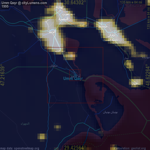
» NASA, Earths city lights 1995
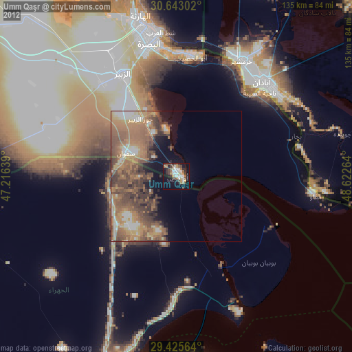
» NASA city lights 2003
» Earth at Night: Flat Maps 2012, 2016