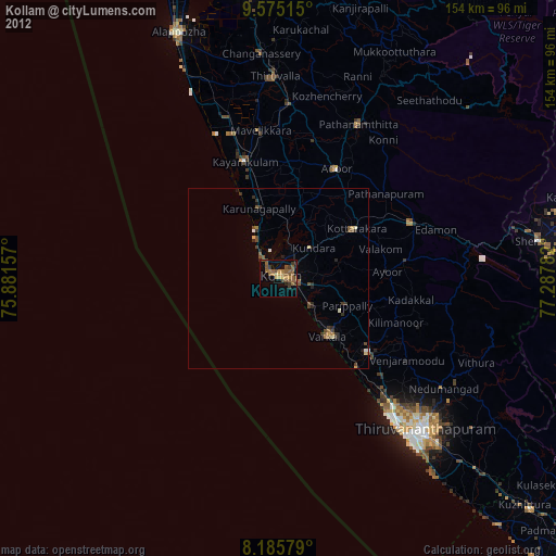
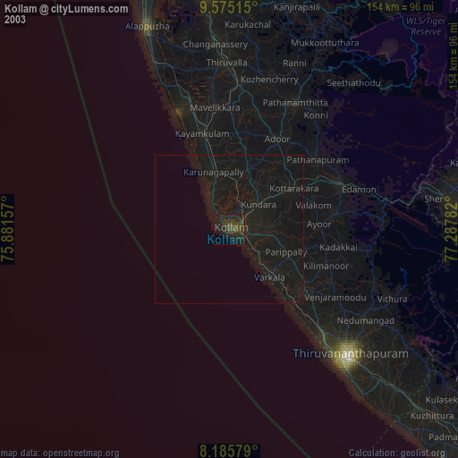
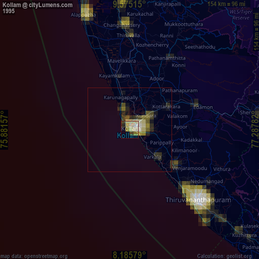
Kollam night lights from space
Night Light of Kollam (Kerala) from space (India) Src. Average luminocity for 10x10km area is 38.7489% and for 50x50km: 5.5422%.
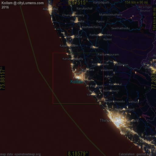
Analysis of Kollam night lights 2016
Square area 10x10 km:
 2.16%
2.16%90-99
1.95%80-89
2.81%70-79
6.71%60-69
21.43%50-59
4.98%40-49
6.93%30-39
6.93%20-29
5.19%10-19
26.41%0-9
14.5%Square area 50x50 km:
0.09%90-99
0.26%80-89
0.37%70-79
0.54%60-69
1.5%50-59
0.94%40-49
1.24%30-39
1.95%20-29
1.77%10-19
3.68%0-9
87.66%Clear (daylight) street map image can be seen on geolist.org.
Map coordinates:
9° 34' 30.5" North, 75° 52' 53.7" East
8° 52' 52.1" North, 76° 35' 4.9" East
8° 11' 8.8" North, 77° 17' 16.2" East
Some cities around Kollam sort by population:
• Varkala
21.9 km =13.6 mi,  138°
138°
• Paravūr Tekkumbhāgam
13.3 km =8.3 mi, 136°
• Vettūr
23.9 km =14.9 mi, 139°
• Attingal
32.6 km =20.3 mi,  129°
129°
• Adūr
34.6 km =21.5 mi,  27°
27°
• Ponmana
15.8 km =9.8 mi,  333°
333°
• Kadakkavoor
30.1 km =18.7 mi, 138°
• Kattanam
32.9 km =20.4 mi,  355°
355°
1259091 (p: 394,163)
Sources (retrieved 2019-11-25):
» NASA, Earths city lights 1995
» NASA city lights 2003
» Earth at Night: Flat Maps 2012, 2016