Māngrol night lights from space
Night Light of Māngrol (Gujarat) from space (India) Src. Average luminocity for 10x10km area is 16.7044% and for 50x50km: 6.3758%.
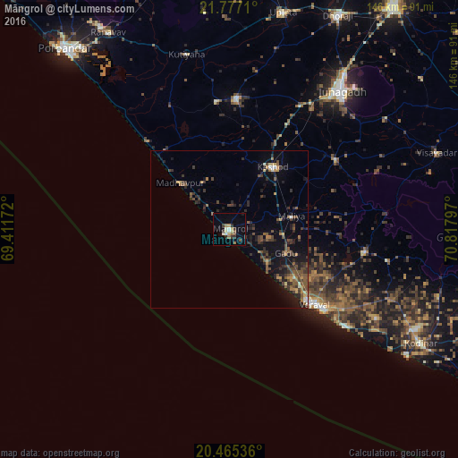
Analysis of Māngrol night lights 2016
Square area 10x10 km:
 0.79%
0.79%90-99
3.17%80-89
1.59%70-79
2.38%60-69
2.58%50-59
2.58%40-49
1.19%30-39
2.98%20-29
2.38%10-19
3.97%0-9
76.39%Square area 50x50 km:
0.1%90-99
0.48%80-89
0.27%70-79
0.79%60-69
0.85%50-59
1.64%40-49
1.68%30-39
1.7%20-29
2.43%10-19
4.51%0-9
85.55%Clear (daylight) street map image can be seen on geolist.org.
Map coordinates:
21° 46' 37.6" North, 69° 24' 42.2" East
21° 7' 21.6" North, 70° 6' 53.4" East
20° 27' 55.3" North, 70° 49' 4.7" East
Some cities around Māngrol sort by population:
• Jūnāgadh
56.8 km =35.3 mi,  38°
38°
• Verāval
35.5 km =22.1 mi,  132°
132°
• Keshod
24.4 km =15.2 mi,  34°
34°
• Mānāvadar
41.8 km =26 mi,  3°
3°
• Mendarda
40.4 km =25.1 mi,  56°
56°
• Kutiyāna
57.4 km =35.7 mi,  346°
346°
• Bāntva
40.8 km =25.4 mi, 354°
• Bilkha
61.6 km =38.3 mi,  54°
54°
1263752 (p: 58,989)
Sources (retrieved 2019-11-25):
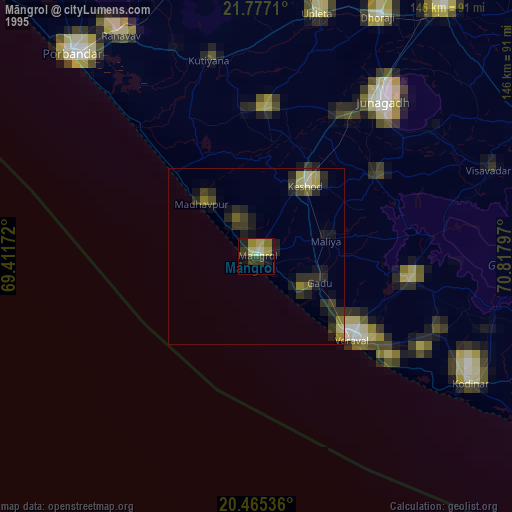
» NASA, Earths city lights 1995
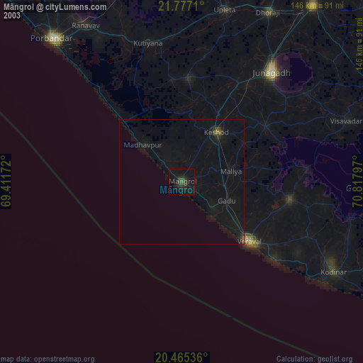
» NASA city lights 2003
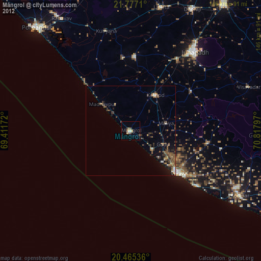
» Earth at Night: Flat Maps 2012, 2016