Vādippatti night lights from space
Night Light of Vādippatti (Tamil Nadu) from space (India) Src. Average luminocity for 10x10km area is 12.4607% and for 50x50km: 12.3458%.
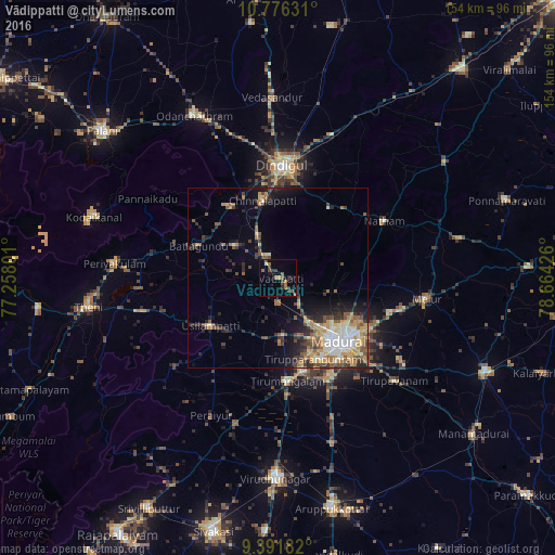
Analysis of Vādippatti night lights 2016
Square area 10x10 km:
 0%
0%90-99
0%80-89
0.83%70-79
0.83%60-69
5.17%50-59
1.86%40-49
2.89%30-39
4.34%20-29
2.69%10-19
2.69%0-9
78.72%Square area 50x50 km:
1.25%90-99
1.78%80-89
1.38%70-79
2.36%60-69
1.61%50-59
2.31%40-49
1.9%30-39
2.18%20-29
3.36%10-19
4.88%0-9
76.99%Clear (daylight) street map image can be seen on geolist.org.
Map coordinates:
10° 46' 34.7" North, 77° 15' 28.8" East
10° 5' 5.3" North, 77° 57' 40.1" East
9° 23' 30.6" North, 78° 39' 51.3" East
Some cities around Vādippatti sort by population:
• Madurai
25.3 km =15.7 mi,  136°
136°
• Dindigul
31.7 km =19.7 mi,  3°
3°
• Tirupparangunram
25.7 km =16 mi,  151°
151°
• Usilampatti
23.1 km =14.4 mi,  236°
236°
• Vattalkundu
23.7 km =14.7 mi,  290°
290°
• Nilakottai
15.1 km =9.4 mi,  306°
306°
• Alangānallūr
14.8 km =9.2 mi,  106°
106°
• Pālamedu
16.8 km =10.4 mi,  82°
82°
1253579 (p: 22,441)
Sources (retrieved 2019-11-25):
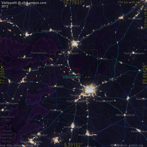
» Earth at Night: Flat Maps 2012, 2016