Usilampatti night lights from space
Night Light of Usilampatti (Tamil Nadu) from space (India) Src. Average luminocity for 10x10km area is 8.7541% and for 50x50km: 4.5726%.
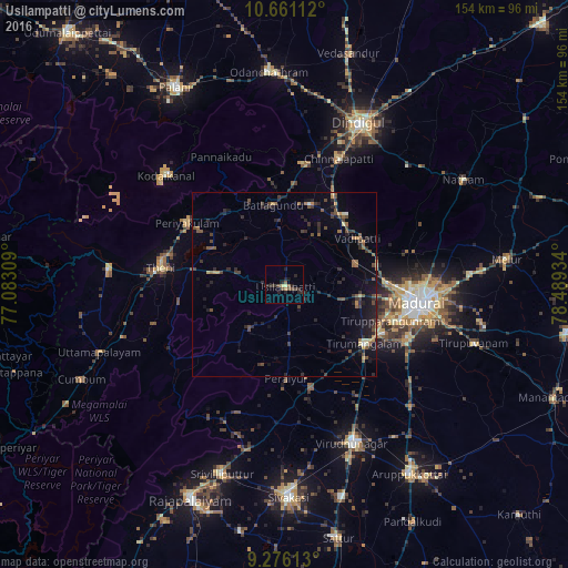
Analysis of Usilampatti night lights 2016
Square area 10x10 km:
 0%
0%90-99
0%80-89
1.65%70-79
0.83%60-69
0%50-59
2.89%40-49
2.69%30-39
2.07%20-29
7.02%10-19
2.69%0-9
80.17%Square area 50x50 km:
0%90-99
0.13%80-89
0.36%70-79
0.44%60-69
0.65%50-59
0.94%40-49
1.14%30-39
1.29%20-29
2.26%10-19
3.09%0-9
89.71%Clear (daylight) street map image can be seen on geolist.org.
Map coordinates:
10° 39' 40" North, 77° 4' 59.1" East
9° 58' 9.7" North, 77° 47' 10.4" East
9° 16' 34.1" North, 78° 29' 21.6" East
Some cities around Usilampatti sort by population:
• Āndippatti
18.4 km =11.4 mi,  279°
279°
• Vattalkundu
21.5 km =13.4 mi,  351°
351°
• Vādippatti
23.1 km =14.4 mi,  56°
56°
• Nilakottai
22.9 km =14.2 mi,  17°
17°
• Elumalai
15 km =9.3 mi,  219°
219°
• Devadānappatti
25.1 km =15.6 mi,  321°
321°
• Kallupatti
29.4 km =18.3 mi,  162°
162°
• Peraiyur
26 km =16.2 mi,  179°
179°
1253671 (p: 30,675)
Sources (retrieved 2019-11-25):
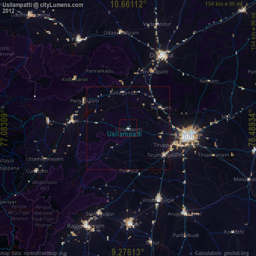
» Earth at Night: Flat Maps 2012, 2016