Tiruppur night lights from space
Night Light of Tiruppur (Tamil Nadu) from space (India) Src. Average luminocity for 10x10km area is 88.0498% and for 50x50km: 31.6547%.
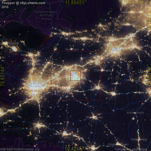
Analysis of Tiruppur night lights 2016
Square area 10x10 km:
 20.13%
90-99
29.22%80-89
27.27%70-79
17.32%60-69
4.11%50-59
1.95%40-49
0%30-39
0%20-29
0%10-19
0%0-9
0%Square area 50x50 km:
0.91%90-99
3.42%80-89
5.54%70-79
7.09%60-69
5.57%50-59
7.77%40-49
7.43%30-39
6.19%20-29
6.58%10-19
11.96%0-9
37.54%Clear (daylight) street map image can be seen on geolist.org.
Map coordinates:
11° 48' 16.2" North, 76° 39' 5.2" East
11° 6' 55.5" North, 77° 21' 16.4" East
10° 25' 28.8" North, 78° 3' 27.7" East
Some cities around Tiruppur sort by population:
• Palladam
15.6 km =9.7 mi,  208°
208°
• Kangayam
25.6 km =15.9 mi,  118°
118°
• Sulur
27 km =16.8 mi,  247°
247°
• Avinashi
12.7 km =7.9 mi,  312°
312°
• Chennimalai
27.7 km =17.2 mi,  78°
78°
• Nambiyūr
27.2 km =16.9 mi,  352°
352°
• Ūttukkuli
12.4 km =7.7 mi,  61°
61°
• Vijayapuri
21.5 km =13.4 mi,  47°
47°
1254348 (p: 397,521)
Sources (retrieved 2019-11-25):
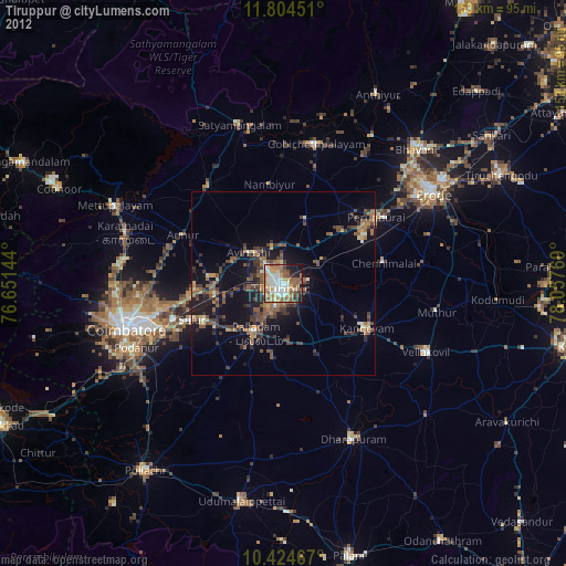
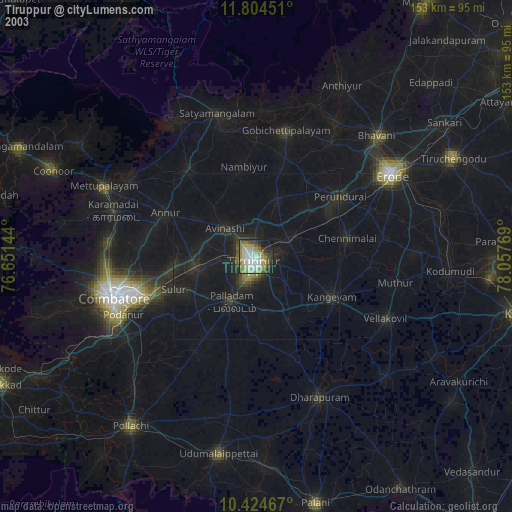
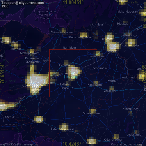
» NASA, Earths city lights 1995
» NASA city lights 2003
» Earth at Night: Flat Maps 2012, 2016