Palladam night lights from space
Night Light of Palladam (Tamil Nadu) from space (India) Src. Average luminocity for 10x10km area is 54.8658% and for 50x50km: 30.7426%.
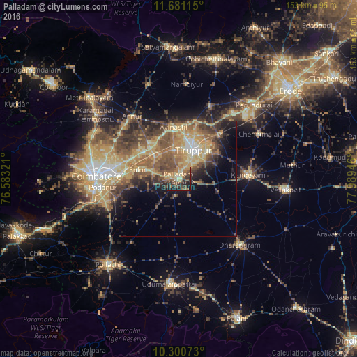
Analysis of Palladam night lights 2016
Square area 10x10 km:
 0%
0%90-99
6.93%80-89
10.61%70-79
11.69%60-69
15.15%50-59
15.8%40-49
11.9%30-39
10.39%20-29
8.87%10-19
8.66%0-9
0%Square area 50x50 km:
0.91%90-99
3.04%80-89
5.88%70-79
7.29%60-69
5.96%50-59
7.89%40-49
7.41%30-39
5.99%20-29
5.58%10-19
6.86%0-9
43.19%Clear (daylight) street map image can be seen on geolist.org.
Map coordinates:
11° 40' 52.1" North, 76° 34' 59.6" East
10° 59' 30.3" North, 77° 17' 10.8" East
10° 18' 2.6" North, 77° 59' 22.1" East
Some cities around Palladam sort by population:
• Tiruppur
15.6 km =9.7 mi,  28°
28°
• Singānallūr
27.7 km =17.2 mi,  271°
271°
• Sulur
17.9 km =11.1 mi,  281°
281°
• Avinashi
22.5 km =14 mi,  355°
355°
• Chettipālaiyam
28.6 km =17.8 mi,  252°
252°
• Irugūr
24.6 km =15.3 mi, 276°
• Periyapatti
26 km =16.2 mi,  183°
183°
• Ūttukkuli
26.9 km =16.7 mi,  42°
42°
1260697 (p: 31,935)
Sources (retrieved 2019-11-25):
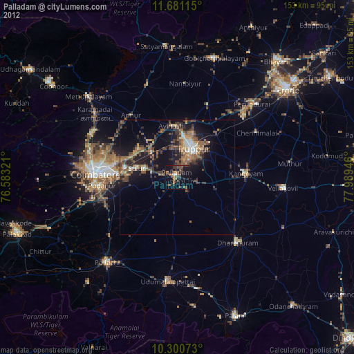
» Earth at Night: Flat Maps 2012, 2016