Tiruchengode night lights from space
Night Light of Tiruchengode (Tamil Nadu) from space (India) Src. Average luminocity for 10x10km area is 60.8268% and for 50x50km: 30.5471%.
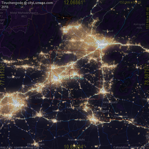
Analysis of Tiruchengode night lights 2016
Square area 10x10 km:
 0.87%
0.87%90-99
8.66%80-89
17.32%70-79
11.9%60-69
12.55%50-59
14.94%40-49
14.07%30-39
12.34%20-29
6.71%10-19
0.65%0-9
0%Square area 50x50 km:
0.48%90-99
2.71%80-89
5.41%70-79
4.69%60-69
6.07%50-59
6.97%40-49
7.86%30-39
7.6%20-29
9.05%10-19
14.68%0-9
34.48%Clear (daylight) street map image can be seen on geolist.org.
Map coordinates:
12° 4' 7" North, 77° 11' 28.8" East
11° 22' 48.6" North, 77° 53' 40" East
10° 41' 24.1" North, 78° 35' 51.3" East
Some cities around Tiruchengode sort by population:
• Erode
18.7 km =11.6 mi,  257°
257°
• Idappadi
23.7 km =14.7 mi,  345°
345°
• Bhavāni
24.3 km =15.1 mi,  287°
287°
• Mallasamudram
19.5 km =12.1 mi,  49°
49°
• Sivagiri
31.1 km =19.3 mi,  201°
201°
• Āttayyāmpatti
24.3 km =15.1 mi, 45°
• Ilampillai
28 km =17.4 mi,  25°
25°
• Konganāpuram
21.2 km =13.2 mi,  1°
1°
1254385 (p: 87,123)
Sources (retrieved 2019-11-25):
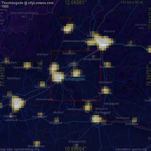
» NASA, Earths city lights 1995
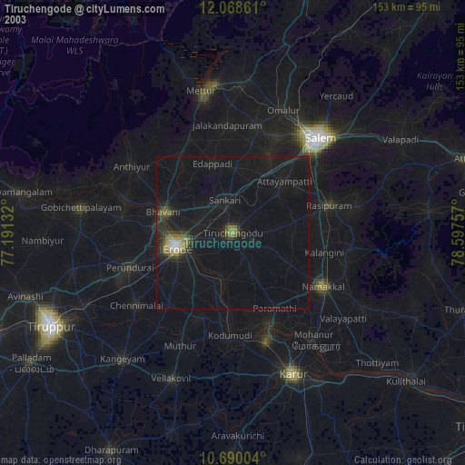
» NASA city lights 2003
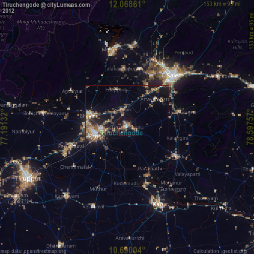
» Earth at Night: Flat Maps 2012, 2016