Tellicherry night lights from space
Night Light of Tellicherry (Kerala) from space (India) Src. Average luminocity for 10x10km area is 16.6901% and for 50x50km: 2.8278%.
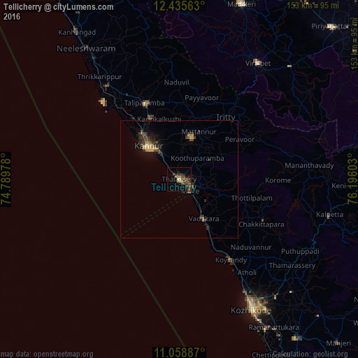

Analysis of Tellicherry night lights 2016
Square area 10x10 km:
 0%
0%90-99
0.21%80-89
2.07%70-79
1.65%60-69
1.65%50-59
4.34%40-49
8.88%30-39
5.79%20-29
3.93%10-19
5.58%0-9
65.91%Square area 50x50 km:
0%90-99
0.06%80-89
0.49%70-79
0.36%60-69
0.24%50-59
0.57%40-49
0.86%30-39
0.86%20-29
1.03%10-19
1.5%0-9
94.03%Clear (daylight) street map image can be seen on geolist.org.
Map coordinates:
12° 26' 8.3" North, 74° 47' 23.2" East
11° 44' 53.2" North, 75° 29' 34.4" East
11° 3' 31.9" North, 76° 11' 45.7" East
Some cities around Tellicherry sort by population:
• Badagara
19.3 km =12 mi,  150°
150°
• Kannur
19.8 km =12.3 mi,  312°
312°
• Mattanur
22 km =13.7 mi,  22°
22°
• Nādāpuram
19 km =11.8 mi,  111°
111°
• Mahē
6.9 km =4.3 mi,  138°
138°
• Dharmadam
4.3 km =2.7 mi, 314°
• Muluppilagadu
7.2 km =4.5 mi,  320°
320°
• Kannavam
21.4 km =13.3 mi,  59°
59°
1254780 (p: 97,201)
Sources (retrieved 2019-11-25):
» NASA, Earths city lights 1995
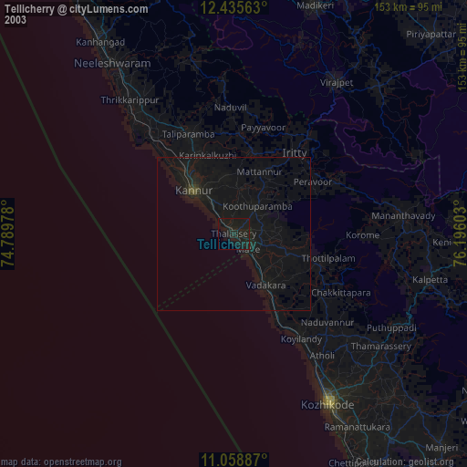
» NASA city lights 2003
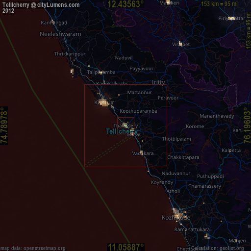
» Earth at Night: Flat Maps 2012, 2016