Badagara night lights from space
Night Light of Badagara (Kerala) from space (India) Src. Average luminocity for 10x10km area is 3.2468% and for 50x50km: 1.1399%.
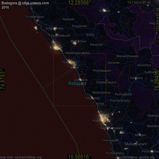
Analysis of Badagara night lights 2016
Square area 10x10 km:
 0%
0%90-99
0%80-89
0%70-79
0%60-69
0%50-59
2.6%40-49
0%30-39
1.95%20-29
2.38%10-19
1.73%0-9
91.34%Square area 50x50 km:
0%90-99
0.01%80-89
0.08%70-79
0.07%60-69
0.07%50-59
0.39%40-49
0.46%30-39
0.44%20-29
0.48%10-19
0.33%0-9
97.66%Clear (daylight) street map image can be seen on geolist.org.
Map coordinates:
12° 17' 8.4" North, 74° 52' 41.9" East
11° 35' 51.9" North, 75° 34' 53.1" East
10° 54' 29.4" North, 76° 17' 4.4" East
Some cities around Badagara sort by population:
• Tellicherry
19.3 km =12 mi,  330°
330°
• Nādāpuram
12.5 km =7.8 mi,  39°
39°
• Mahē
12.6 km =7.8 mi,  336°
336°
• Dharmadam
23.5 km =14.6 mi, 327°
• Naduvannūr
24.4 km =15.2 mi,  120°
120°
• Iringal
5.7 km =3.5 mi,  138°
138°
• Muluppilagadu
26.4 km =16.4 mi, 327°
• Kannavam
28.8 km =17.9 mi,  17°
17°
1278023 (p: 76,493)
Sources (retrieved 2019-11-25):
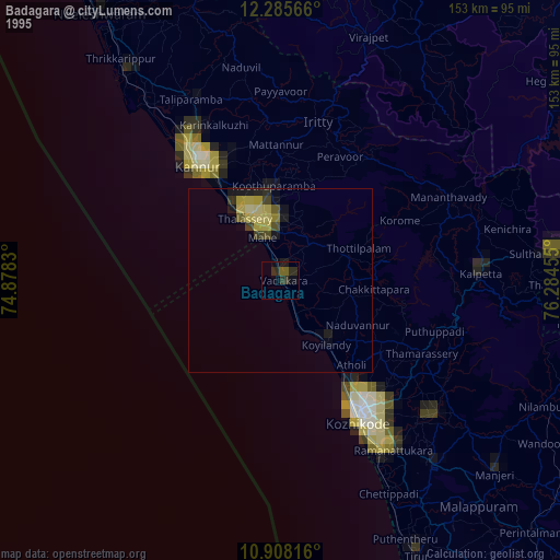
» NASA, Earths city lights 1995
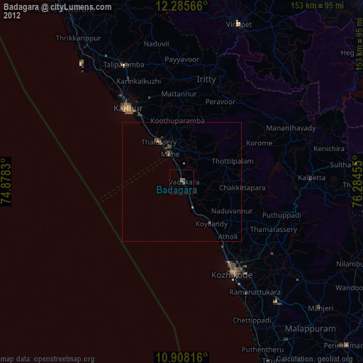
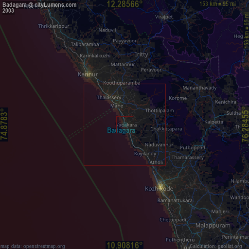
» NASA city lights 2003
» Earth at Night: Flat Maps 2012, 2016