Muluppilagadu night lights from space
Night Light of Muluppilagadu (Kerala) from space (India) Src. Average luminocity for 10x10km area is 4.2996% and for 50x50km: 2.9194%.
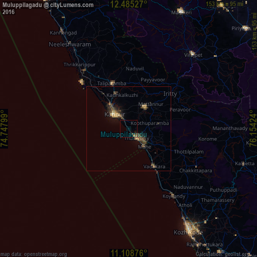
Analysis of Muluppilagadu night lights 2016
Square area 10x10 km:
 0%
0%90-99
0%80-89
0.62%70-79
0.83%60-69
0.41%50-59
0.83%40-49
1.24%30-39
0.83%20-29
1.24%10-19
1.45%0-9
92.56%Square area 50x50 km:
0%90-99
0.06%80-89
0.49%70-79
0.36%60-69
0.24%50-59
0.58%40-49
0.98%30-39
0.87%20-29
1.03%10-19
1.57%0-9
93.83%Clear (daylight) street map image can be seen on geolist.org.
Map coordinates:
12° 29' 7" North, 74° 44' 52.8" East
11° 47' 52.4" North, 75° 27' 4" East
11° 6' 31.5" North, 76° 9' 15.3" East
Some cities around Muluppilagadu sort by population:
• Tellicherry
7.2 km =4.5 mi,  140°
140°
• Kannur
12.8 km =8 mi,  307°
307°
• Mattanur
19.7 km =12.2 mi,  41°
41°
• Mahē
14 km =8.7 mi, 139°
• Pāppinisshēri
21.4 km =13.3 mi,  325°
325°
• Dharmadam
2.9 km =1.8 mi,  149°
149°
• Kannavam
23.6 km =14.7 mi,  77°
77°
• Azhikkal
17.2 km =10.7 mi,  319°
319°
1262566 (p: 23,030)
Sources (retrieved 2019-11-25):
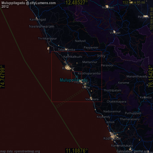
» Earth at Night: Flat Maps 2012, 2016