Kannur night lights from space
Night Light of Kannur (Kerala) from space (India) Src. Average luminocity for 10x10km area is 25.1591% and for 50x50km: 3.294%.
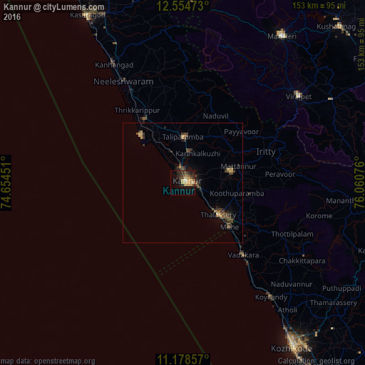
Analysis of Kannur night lights 2016
Square area 10x10 km:
 0%
0%90-99
1.24%80-89
7.23%70-79
5.99%60-69
2.48%50-59
3.31%40-49
3.31%30-39
7.85%20-29
7.85%10-19
15.5%0-9
45.25%Square area 50x50 km:
0%90-99
0.06%80-89
0.68%70-79
0.44%60-69
0.28%50-59
0.55%40-49
1.08%30-39
1.05%20-29
0.94%10-19
1.55%0-9
93.38%Clear (daylight) street map image can be seen on geolist.org.
Map coordinates:
12° 33' 17" North, 74° 39' 16.2" East
11° 52' 3.1" North, 75° 21' 27.5" East
11° 10' 42.9" North, 76° 3' 38.7" East
Some cities around Kannur sort by population:
• Tellicherry
19.8 km =12.3 mi,  132°
132°
• Talipparamba
19.4 km =12.1 mi,  0°
0°
• Mattanur
24.3 km =15.1 mi,  73°
73°
• Mahē
26.7 km =16.6 mi, 133°
• Pāppinisshēri
10.1 km =6.3 mi,  349°
349°
• Dharmadam
15.5 km =9.6 mi, 131°
• Muluppilagadu
12.8 km =8 mi, 127°
• Azhikkal
5.4 km =3.4 mi, 348°
1274987 (p: 62,836)
Sources (retrieved 2019-11-25):
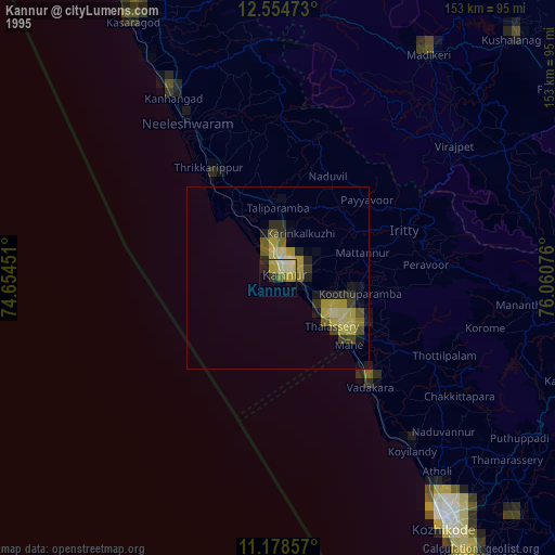
» NASA, Earths city lights 1995
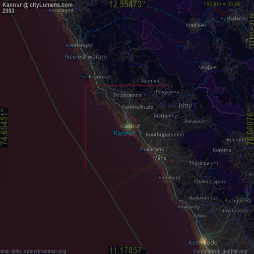
» NASA city lights 2003
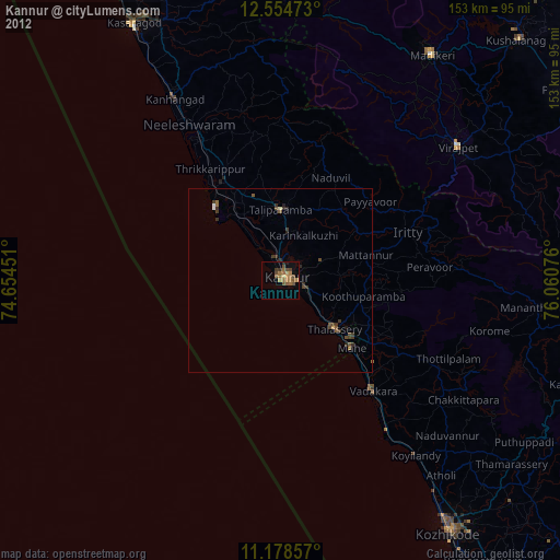
» Earth at Night: Flat Maps 2012, 2016