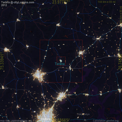
Tarāna night lights from space
Night Light of Tarāna (Madhya Pradesh) from space (India) Src. Average luminocity for 10x10km area is 9.2538% and for 50x50km: 13.2669%.
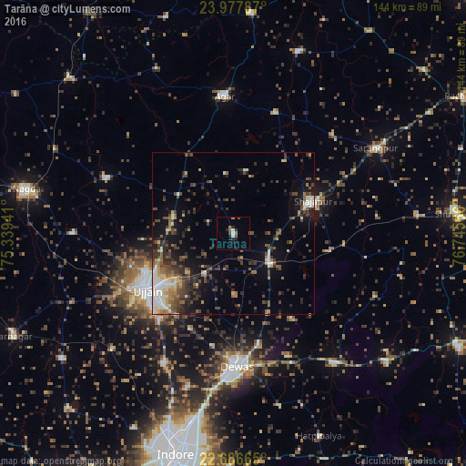
Analysis of Tarāna night lights 2016
Square area 10x10 km:
 0.95%
0.95%90-99
1.33%80-89
0%70-79
0.19%60-69
2.46%50-59
0.76%40-49
2.27%30-39
0.19%20-29
5.11%10-19
1.52%0-9
85.23%Square area 50x50 km:
1.14%90-99
2.09%80-89
1.26%70-79
0.91%60-69
1.77%50-59
1.98%40-49
3.47%30-39
3.52%20-29
3.95%10-19
6.5%0-9
73.42%Clear (daylight) street map image can be seen on geolist.org.
Map coordinates:
23° 58' 40.3" North, 75° 20' 21.9" East
23° 20' 1.8" North, 76° 2' 33.1" East
22° 41' 11.9" North, 76° 44' 44.4" East
Some cities around Tarāna sort by population:
• Ujjain
32 km =19.9 mi,  238°
238°
• Dewas
40.9 km =25.4 mi,  178°
178°
• Shājāpur
26.1 km =16.2 mi,  66°
66°
• Agar
42.1 km =26.2 mi,  356°
356°
• Maksi
13.4 km =8.3 mi,  127°
127°
• Unhel
49.3 km =30.6 mi,  270°
270°
• Sānwer
45.7 km =28.4 mi,  208°
208°
• Iklehra
41.2 km =25.6 mi,  120°
120°
1254909 (p: 22,773)
Sources (retrieved 2019-11-25):
» Earth at Night: Flat Maps 2012, 2016