Agar night lights from space
Night Light of Agar (Madhya Pradesh) from space (India) Src. Average luminocity for 10x10km area is 17.3194% and for 50x50km: 2.9948%.
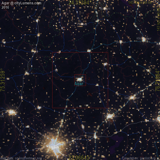
Analysis of Agar night lights 2016
Square area 10x10 km:
 2.58%
2.58%90-99
4.56%80-89
0.99%70-79
1.39%60-69
1.59%50-59
2.18%40-49
0.4%30-39
4.56%20-29
2.38%10-19
4.17%0-9
75.2%Square area 50x50 km:
0.25%90-99
0.41%80-89
0.14%70-79
0.28%60-69
0.25%50-59
0.59%40-49
0.66%30-39
0.89%20-29
0.84%10-19
0.82%0-9
94.88%Clear (daylight) street map image can be seen on geolist.org.
Map coordinates:
24° 21' 14.2" North, 75° 18' 45.3" East
23° 42' 42.4" North, 76° 0' 56.6" East
23° 3' 59.1" North, 76° 43' 7.8" East
Some cities around Agar sort by population:
• Shājāpur
41.5 km =25.8 mi,  139°
139°
• Sārangpur
49.3 km =30.6 mi,  109°
109°
• Alot
47.1 km =29.3 mi,  276°
276°
• Tarāna
42.1 km =26.2 mi,  176°
176°
• Maksi
52 km =32.3 mi,  165°
165°
• Susner
27.1 km =16.8 mi,  15°
15°
• Pirāwa
49.3 km =30.6 mi,  1°
1°
• Gogāpur
53.7 km =33.4 mi,  251°
251°
1279299 (p: 34,532)
Sources (retrieved 2019-11-25):
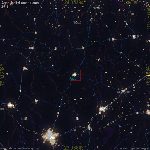
» Earth at Night: Flat Maps 2012, 2016