Maksi night lights from space
Night Light of Maksi (Madhya Pradesh) from space (India) Src. Average luminocity for 10x10km area is 20.9167% and for 50x50km: 9.0441%.
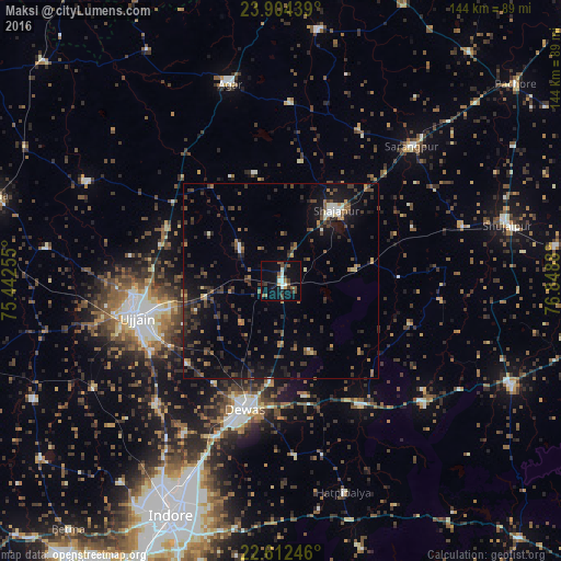
Analysis of Maksi night lights 2016
Square area 10x10 km:
 0.95%
0.95%90-99
5.11%80-89
0.57%70-79
0.95%60-69
2.46%50-59
4.73%40-49
3.41%30-39
4.36%20-29
3.41%10-19
16.67%0-9
57.39%Square area 50x50 km:
0.29%90-99
0.8%80-89
0.39%70-79
0.57%60-69
1.06%50-59
1.69%40-49
2.02%30-39
3.19%20-29
3.3%10-19
7.21%0-9
79.47%Clear (daylight) street map image can be seen on geolist.org.
Map coordinates:
23° 54' 15.8" North, 75° 26' 33.2" East
23° 15' 36" North, 76° 8' 44.4" East
22° 36' 44.9" North, 76° 50' 55.7" East
Some cities around Maksi sort by population:
• Ujjain
38.7 km =24 mi,  257°
257°
• Dewas
34 km =21.1 mi,  195°
195°
• Shājāpur
22.9 km =14.2 mi,  36°
36°
• Sārangpur
47.7 km =29.6 mi, 44°
• Tarāna
13.4 km =8.3 mi,  307°
307°
• Sānwer
45.5 km =28.3 mi,  225°
225°
• Iklehra
28 km =17.4 mi,  116°
116°
• Iāwar
45.8 km =28.5 mi,  127°
127°
1264198 (p: 20,094)
Sources (retrieved 2019-11-25):
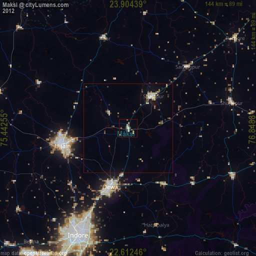
» Earth at Night: Flat Maps 2012, 2016