Tāramangalam night lights from space
Night Light of Tāramangalam (Tamil Nadu) from space (India) Src. Average luminocity for 10x10km area is 64.7789% and for 50x50km: 41.0773%.
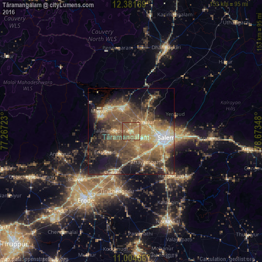
Analysis of Tāramangalam night lights 2016
Square area 10x10 km:
 0%
0%90-99
1.65%80-89
10.33%70-79
20.45%60-69
26.45%50-59
36.78%40-49
4.34%30-39
0%20-29
0%10-19
0%0-9
0%Square area 50x50 km:
1.71%90-99
4.53%80-89
6.59%70-79
5.93%60-69
7.88%50-59
12.93%40-49
12.15%30-39
8.51%20-29
8.95%10-19
13.94%0-9
16.89%Clear (daylight) street map image can be seen on geolist.org.
Map coordinates:
12° 22' 54.1" North, 77° 16' 2" East
11° 41' 38.5" North, 77° 58' 13.3" East
11° 0' 16.8" North, 78° 40' 24.5" East
Some cities around Tāramangalam sort by population:
• Salem
20.6 km =12.8 mi,  102°
102°
• Idappadi
18.7 km =11.6 mi,  230°
230°
• Jalakandapuram
10.6 km =6.6 mi,  272°
272°
• Āttayyāmpatti
20.1 km =12.5 mi,  153°
153°
• Omalur
9.7 km =6 mi,  57°
57°
• Ilampillai
10.5 km =6.5 mi,  157°
157°
• Nangavalli
11.5 km =7.1 mi,  311°
311°
• Konganāpuram
15.7 km =9.8 mi,  209°
209°
1254910 (p: 23,788)
Sources (retrieved 2019-11-25):
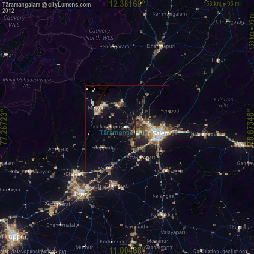
» Earth at Night: Flat Maps 2012, 2016