Tanjore night lights from space
Night Light of Tanjore (Tamil Nadu) from space (India) Src. Average luminocity for 10x10km area is 58.9504% and for 50x50km: 9.9909%.
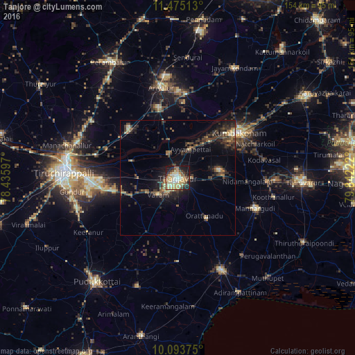
Analysis of Tanjore night lights 2016
Square area 10x10 km:
 3.51%
3.51%90-99
17.15%80-89
15.5%70-79
13.22%60-69
3.93%50-59
8.68%40-49
4.13%30-39
5.17%20-29
11.36%10-19
17.15%0-9
0.21%Square area 50x50 km:
0.16%90-99
1.09%80-89
1.33%70-79
1.36%60-69
1.17%50-59
1.4%40-49
2.12%30-39
3.26%20-29
3.47%10-19
6.42%0-9
78.22%Clear (daylight) street map image can be seen on geolist.org.
Map coordinates:
11° 28' 30.5" North, 78° 26' 9.5" East
10° 47' 6.8" North, 79° 8' 20.7" East
10° 5' 37.5" North, 79° 50' 32" East
Some cities around Tanjore sort by population:
• Papanasam
21.3 km =13.2 mi,  42°
42°
• Vallam
11.3 km =7 mi,  230°
230°
• Ayyampettāi
13.7 km =8.5 mi,  19°
19°
• Ammāpettai
19.8 km =12.3 mi,  86°
86°
• Thiruvaiyaru
11.7 km =7.3 mi,  340°
340°
• Thirukattupalli
21 km =13 mi,  288°
288°
• Valangaiman
30.1 km =18.7 mi,  67°
67°
• Swāmimalai
28.3 km =17.6 mi,  47°
47°
1254649 (p: 219,571)
Sources (retrieved 2019-11-25):
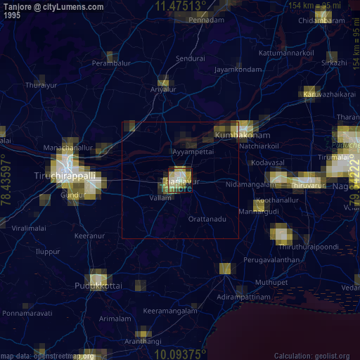
» NASA, Earths city lights 1995
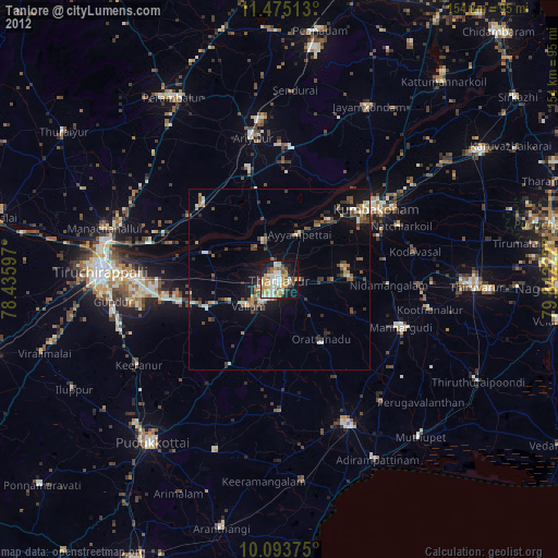
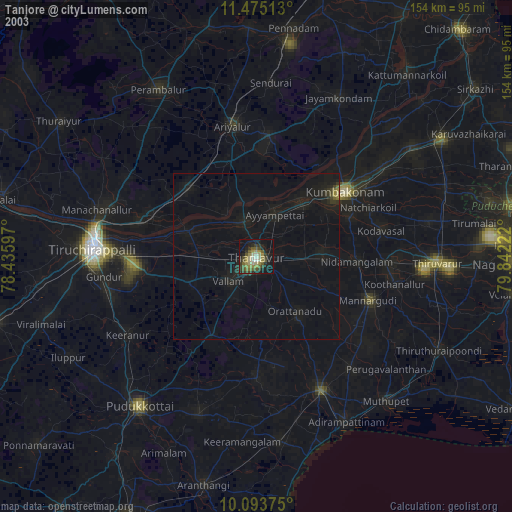
» NASA city lights 2003
» Earth at Night: Flat Maps 2012, 2016