Tāki night lights from space
Night Light of Tāki (West Bengal) from space (India) Src. Average luminocity for 10x10km area is 23.608% and for 50x50km: 11.3231%.
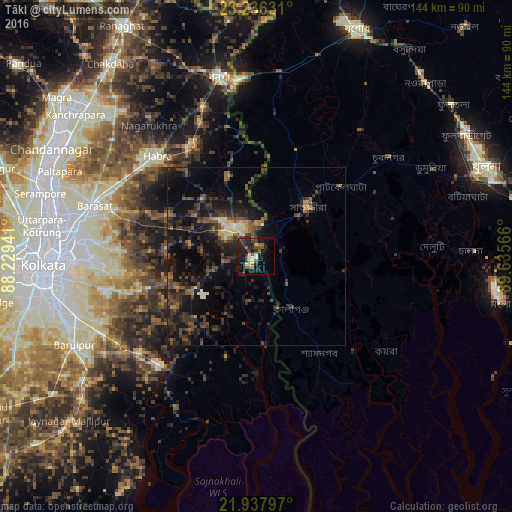
Analysis of Tāki night lights 2016
Square area 10x10 km:
 1.52%
1.52%90-99
2.46%80-89
2.84%70-79
0.76%60-69
1.89%50-59
6.44%40-49
3.79%30-39
4.73%20-29
15.72%10-19
24.24%0-9
35.61%Square area 50x50 km:
0.14%90-99
1.02%80-89
0.77%70-79
0.61%60-69
1.14%50-59
2.18%40-49
3.23%30-39
4.14%20-29
5.85%10-19
13.02%0-9
67.89%Clear (daylight) street map image can be seen on geolist.org.
Map coordinates:
23° 14' 10.7" North, 88° 13' 45.9" East
22° 35' 19.2" North, 88° 55' 57.1" East
21° 56' 16.7" North, 89° 38' 8.4" East
Some cities around Tāki sort by population:
• Hābra
40 km =24.9 mi,  314°
314°
• Sātkhira, BD
19.5 km =12.1 mi,  47°
47°
• Badūria
22.9 km =14.2 mi,  319°
319°
• Gobārdānga
36.9 km =22.9 mi,  330°
330°
• Canning
41.2 km =25.6 mi,  222°
222°
• Gurdaha
24.1 km =15 mi, 312°
• Gopālpur
18.9 km =11.7 mi,  280°
280°
• Ula
41.4 km =25.7 mi,  291°
291°
1255211 (p: 40,113)
Sources (retrieved 2019-11-25):
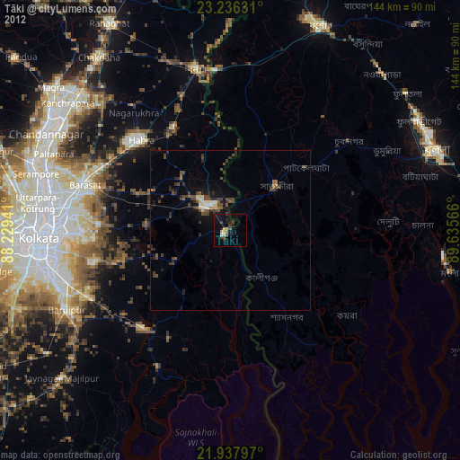
» Earth at Night: Flat Maps 2012, 2016