Sirsilla night lights from space
Night Light of Sirsilla (Telangana) from space (India) Src. Average luminocity for 10x10km area is 34.4256% and for 50x50km: 9.4481%.
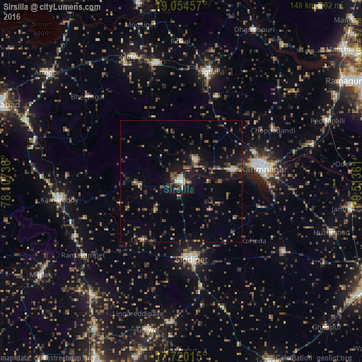
Analysis of Sirsilla night lights 2016
Square area 10x10 km:
 2.89%
2.89%90-99
6.82%80-89
2.48%70-79
4.34%60-69
4.13%50-59
7.23%40-49
6.4%30-39
5.58%20-29
7.85%10-19
41.94%0-9
10.33%Square area 50x50 km:
0.43%90-99
0.69%80-89
0.82%70-79
0.83%60-69
1.09%50-59
1.79%40-49
2.34%30-39
2.55%20-29
2.64%10-19
7.91%0-9
78.91%Clear (daylight) street map image can be seen on geolist.org.
Map coordinates:
19° 3' 16.5" North, 78° 6' 26.5" East
18° 23' 19.1" North, 78° 48' 37.7" East
17° 43' 12.5" North, 79° 30' 49" East
Some cities around Sirsilla sort by population:
• Karīmnagar
34 km =21.1 mi,  80°
80°
• Jagtiāl
46.5 km =28.9 mi,  13°
13°
• Kāmāreddi
50 km =31.1 mi,  261°
261°
• Siddipet
31.8 km =19.8 mi,  172°
172°
• Koratla
49.2 km =30.6 mi,  347°
347°
• Vemalwāda
10.5 km =6.5 mi,  35°
35°
• Kottapalli
32.2 km =20 mi,  68°
68°
• Nārsingi
55.8 km =34.7 mi,  226°
226°
1256039 (p: 71,499)
Sources (retrieved 2019-11-25):
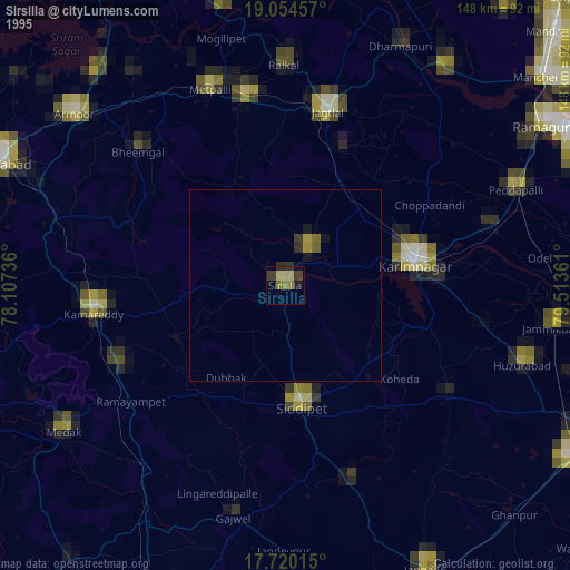
» NASA, Earths city lights 1995
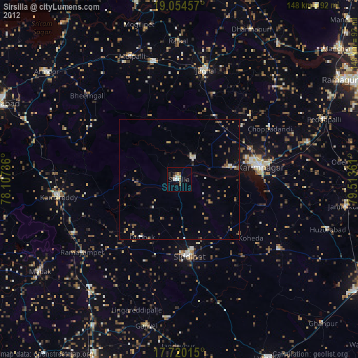
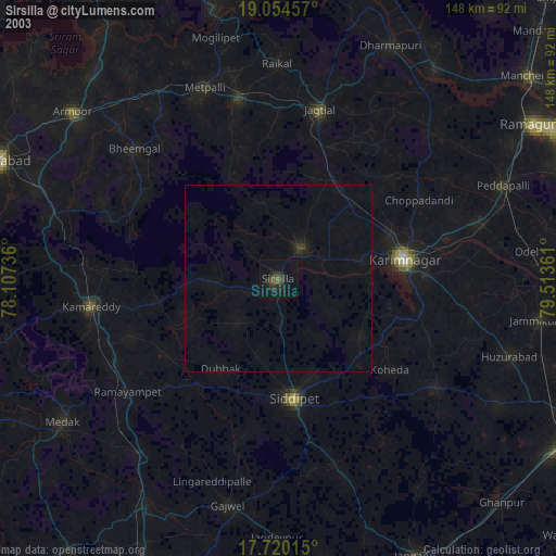
» NASA city lights 2003
» Earth at Night: Flat Maps 2012, 2016