Sihor night lights from space
Night Light of Sihor (Gujarat) from space (India) Src. Average luminocity for 10x10km area is 31.697% and for 50x50km: 14.795%.
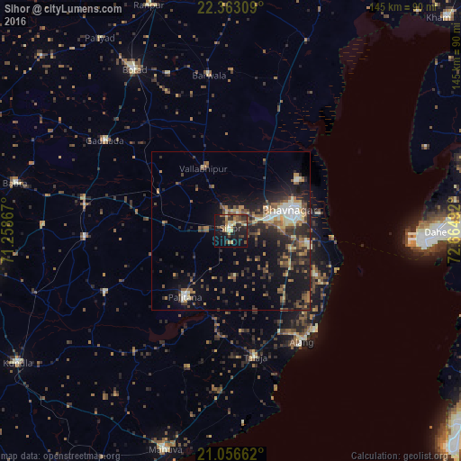


Analysis of Sihor night lights 2016
Square area 10x10 km:
 0.38%
0.38%90-99
3.6%80-89
5.68%70-79
4.17%60-69
6.06%50-59
6.63%40-49
4.17%30-39
6.82%20-29
11.93%10-19
32.39%0-9
18.18%Square area 50x50 km:
0.74%90-99
1.97%80-89
1.62%70-79
1.8%60-69
2.23%50-59
3.04%40-49
2.64%30-39
3.42%20-29
5.61%10-19
10.44%0-9
66.48%Clear (daylight) street map image can be seen on geolist.org.
Map coordinates:
22° 21' 47.1" North, 71° 15' 31.2" East
21° 42' 40.8" North, 71° 57' 42.4" East
21° 3' 23.8" North, 72° 39' 53.7" East
Some cities around Sihor sort by population:
• Bhavnagar
20.6 km =12.8 mi,  73°
73°
• Pālitāna
25.2 km =15.7 mi,  214°
214°
• Talāja
40.6 km =25.2 mi,  169°
169°
• Valabhīpur
21.5 km =13.4 mi,  336°
336°
• Umrāla
22 km =13.7 mi,  311°
311°
• Ghogha
32.6 km =20.3 mi,  94°
94°
• Vartej
11.2 km =7 mi, 73°
• Dhola
27.2 km =16.9 mi, 314°
1256343 (p: 52,603)
Sources (retrieved 2019-11-25):
» NASA, Earths city lights 1995
» NASA city lights 2003
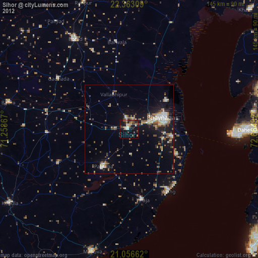
» Earth at Night: Flat Maps 2012, 2016