Ashta night lights from space
Night Light of Ashta (Madhya Pradesh) from space (India) Src. Average luminocity for 10x10km area is 25.5833% and for 50x50km: 4.8198%.
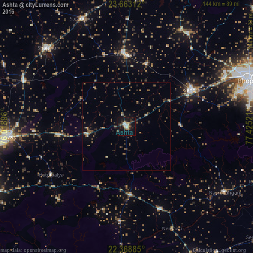
Analysis of Ashta night lights 2016
Square area 10x10 km:
 2.78%
2.78%90-99
4.17%80-89
1.59%70-79
3.17%60-69
3.57%50-59
2.58%40-49
3.37%30-39
3.77%20-29
9.33%10-19
33.13%0-9
32.54%Square area 50x50 km:
0.26%90-99
0.31%80-89
0.32%70-79
0.51%60-69
0.73%50-59
1.17%40-49
0.98%30-39
1.22%20-29
1.52%10-19
2.36%0-9
90.6%Clear (daylight) street map image can be seen on geolist.org.
Map coordinates:
23° 39' 47.2" North, 76° 1' 8.3" East
23° 1' 3.1" North, 76° 43' 19.5" East
22° 22' 7.9" North, 77° 25' 30.8" East
Some cities around Ashta sort by population:
• Sehore
42.1 km =26.2 mi,  61°
61°
• Shujālpur
43.3 km =26.9 mi,  358°
358°
• Khātegaon
50.8 km =31.6 mi,  157°
157°
• Kannod
39 km =24.2 mi,  176°
176°
• Ichhāwar
30.2 km =18.8 mi,  87°
87°
• Akodia
42.3 km =26.3 mi,  342°
342°
• Iklehra
36.8 km =22.9 mi,  292°
292°
• Iāwar
22.7 km =14.1 mi,  267°
267°
1278294 (p: 45,365)
Sources (retrieved 2019-11-25):
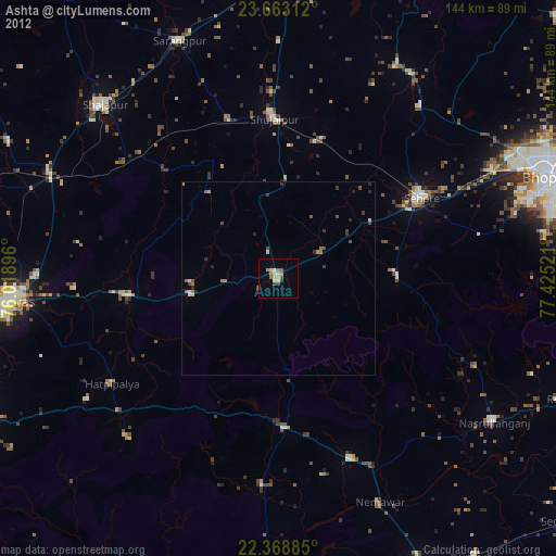
» Earth at Night: Flat Maps 2012, 2016