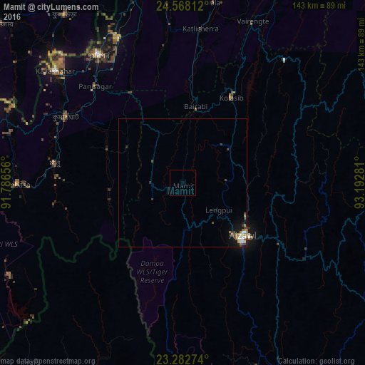
Mamit night lights from space
Night Light of Mamit (Mizoram) from space (India) Src. Average luminocity for 10x10km area is 0% and for 50x50km: 1.1912%.
Analysis of Mamit night lights 2016
Square area 10x10 km:
100  0%
0%
90-99 0%
80-89 0%
70-79 0%
60-69 0%
50-59 0%
40-49 0%
30-39 0%
20-29 0%
10-19 0%
0-9 100%
0%90-99
0%80-89
0%70-79
0%60-69
0%50-59
0%40-49
0%30-39
0%20-29
0%10-19
0%0-9
100%Square area 50x50 km:
100 0.11%
90-99 0.28%
80-89 0.1%
70-79 0.06%
60-69 0.27%
50-59 0.12%
40-49 0.27%
30-39 0.21%
20-29 0.13%
10-19 0.84%
0-9 97.6%
0.11%90-99
0.28%80-89
0.1%70-79
0.06%60-69
0.27%50-59
0.12%40-49
0.27%30-39
0.21%20-29
0.13%10-19
0.84%0-9
97.6%Clear (daylight) street map image can be seen on geolist.org.
Map coordinates:
24° 34' 5.2" North, 91° 47' 11.6" East
23° 55' 37.3" North, 92° 29' 22.8" East
23° 16' 57.9" North, 93° 11' 34.1" East
Some cities around Mamit sort by population:
• Aizawl
32 km =19.9 mi,  133°
133°
• Dharmanagar
58.9 km =36.6 mi,  326°
326°
• Kolasib
38.2 km =23.7 mi,  30°
30°
• Kailāshahar
66.8 km =41.5 mi,  312°
312°
• Sāitlaw
10 km =6.2 mi,  59°
59°
• Lāla
70.9 km =44.1 mi,  10°
10°
• Āmbāsa
64.6 km =40.1 mi,  270°
270°
• Sairang
21 km =13 mi, 128°
1263983 (p: 6,104)
Sources (retrieved 2019-11-25):
» Earth at Night: Flat Maps 2012, 2016