Sāitlaw night lights from space
Night Light of Sāitlaw (Mizoram) from space (India) Src. Average luminocity for 10x10km area is 0% and for 50x50km: 0.6814%.
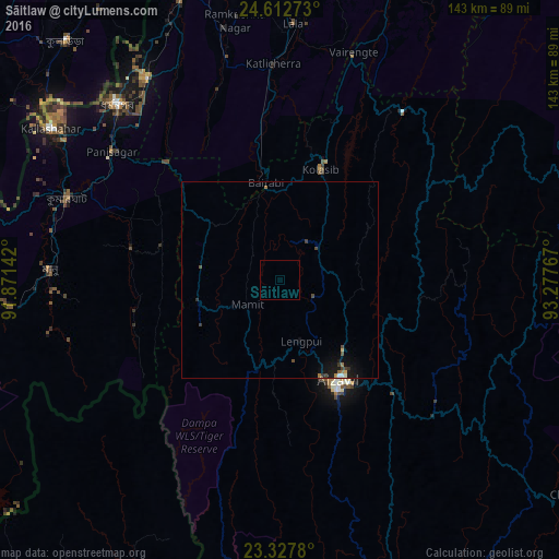
Analysis of Sāitlaw night lights 2016
Square area 10x10 km:
 0%
0%90-99
0%80-89
0%70-79
0%60-69
0%50-59
0%40-49
0%30-39
0%20-29
0%10-19
0%0-9
100%Square area 50x50 km:
0.02%90-99
0.07%80-89
0.05%70-79
0.03%60-69
0.16%50-59
0%40-49
0.23%30-39
0.2%20-29
0.05%10-19
0.82%0-9
98.37%Clear (daylight) street map image can be seen on geolist.org.
Map coordinates:
24° 36' 45.8" North, 91° 52' 17.1" East
23° 58' 18.7" North, 92° 34' 28.3" East
23° 19' 40.1" North, 93° 16' 39.6" East
Some cities around Sāitlaw sort by population:
• Aizawl
30.7 km =19.1 mi,  151°
151°
• Dharmanagar
60.3 km =37.5 mi,  316°
316°
• Kolasib
29.9 km =18.6 mi,  20°
20°
• Kailāshahar
70.4 km =43.7 mi,  304°
304°
• Lāla
64.9 km =40.3 mi,  3°
3°
• Āmbāsa
73.3 km =45.5 mi,  266°
266°
• Mamit
10 km =6.2 mi,  239°
239°
• Sairang
19.6 km =12.2 mi,  156°
156°
1257737 (p: 11,043)
Sources (retrieved 2019-11-25):
» Earth at Night: Flat Maps 2012, 2016