Sāyalkudi night lights from space
Night Light of Sāyalkudi (Tamil Nadu) from space (India) Src. Average luminocity for 10x10km area is 1.8615% and for 50x50km: 0.5946%.
Analysis of Sāyalkudi night lights 2016
Square area 10x10 km:
 0%
0%90-99
0%80-89
1.3%70-79
0.43%60-69
0%50-59
0%40-49
0%30-39
0%20-29
0.65%10-19
1.08%0-9
96.54%Square area 50x50 km:
0%90-99
0%80-89
0.08%70-79
0.05%60-69
0.03%50-59
0.13%40-49
0.21%30-39
0.22%20-29
0.39%10-19
0.34%0-9
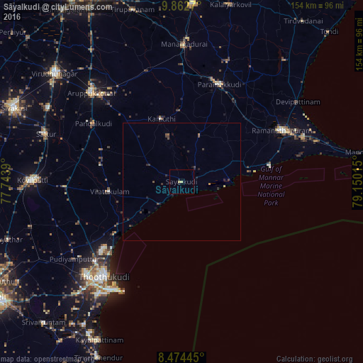
98.54%Clear (daylight) street map image can be seen on geolist.org.
Map coordinates:
9° 51' 45.7" North, 77° 44' 38" East
9° 10' 9.3" North, 78° 26' 49.3" East
8° 28' 28" North, 79° 9' 0.5" East
Some cities around Sāyalkudi sort by population:
• Paramagudi
44.8 km =27.8 mi,  20°
20°
• Keelakarai
37.8 km =23.5 mi,  79°
79°
• Vilattikulam
31.1 km =19.3 mi,  262°
262°
• Mudukulattūr
20.5 km =12.7 mi, 20°
• Kamuthi
27.7 km =17.2 mi,  343°
343°
• Kulattūr
33.5 km =20.8 mi,  236°
236°
• Pudūr
36.5 km =22.7 mi,  291°
291°
• Abirāmam
30.4 km =18.9 mi,  358°
358°
1256934 (p: 12,415)
Sources (retrieved 2019-11-25):
» Earth at Night: Flat Maps 2012, 2016