Pudūr night lights from space
Night Light of Pudūr (Tamil Nadu) from space (India) Src. Average luminocity for 10x10km area is 2.9545% and for 50x50km: 3.0548%.
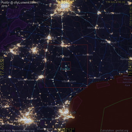
Analysis of Pudūr night lights 2016
Square area 10x10 km:
 0%
0%90-99
0%80-89
0%70-79
0.87%60-69
0%50-59
0.87%40-49
1.95%30-39
0.87%20-29
0.65%10-19
0%0-9
94.81%Square area 50x50 km:
0.09%90-99
0.34%80-89
0.21%70-79
0.5%60-69
0.31%50-59
0.54%40-49
0.7%30-39
0.87%20-29
0.78%10-19
1.34%0-9
94.32%Clear (daylight) street map image can be seen on geolist.org.
Map coordinates:
9° 59' 5.6" North, 77° 26' 7.3" East
9° 17' 30.1" North, 78° 8' 18.5" East
8° 35' 49.6" North, 78° 50' 29.8" East
Some cities around Pudūr sort by population:
• Kovilpatti
32.4 km =20.1 mi,  245°
245°
• Aruppukkottai
24.7 km =15.3 mi,  349°
349°
• Sattur
24.5 km =15.2 mi,  286°
286°
• Vilattikulam
18 km =11.2 mi,  170°
170°
• Kamuthi
28.8 km =17.9 mi,  63°
63°
• Ettaiyapuram
23.1 km =14.4 mi,  224°
224°
• Kulattūr
32.6 km =20.3 mi, 169°
• Elāyirampannai
34.5 km =21.4 mi,  266°
266°
1259293 (p: 8,281)
Sources (retrieved 2019-11-25):
» Earth at Night: Flat Maps 2012, 2016