Sāvantvādi night lights from space
Night Light of Sāvantvādi (Maharashtra) from space (India) Src. Average luminocity for 10x10km area is 7.2468% and for 50x50km: 2.4452%.
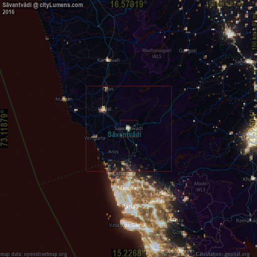
Analysis of Sāvantvādi night lights 2016
Square area 10x10 km:
 0.43%
0.43%90-99
1.3%80-89
1.73%70-79
0%60-69
1.73%50-59
0.87%40-49
0.87%30-39
2.6%20-29
0%10-19
0.43%0-9
90.04%Square area 50x50 km:
0.03%90-99
0.1%80-89
0.29%70-79
0.11%60-69
0.26%50-59
0.67%40-49
0.72%30-39
0.66%20-29
1.02%10-19
2.02%0-9
94.12%Clear (daylight) street map image can be seen on geolist.org.
Map coordinates:
16° 34' 45.1" North, 73° 7' 7.6" East
15° 54' 14.9" North, 73° 49' 18.9" East
15° 13' 36.5" North, 74° 31' 30.1" East
Some cities around Sāvantvādi sort by population:
• Māpuca
34.8 km =21.6 mi,  182°
182°
• Kudāl
18.6 km =11.6 mi,  309°
309°
• Vengurla
20.9 km =13 mi,  256°
256°
• Solim
32.7 km =20.3 mi,  190°
190°
• Arambol
27.2 km =16.9 mi,  207°
207°
• Aldona
35 km =21.7 mi,  170°
170°
• Colovale
29.9 km =18.6 mi, 179°
• Pernem
20.3 km =12.6 mi, 188°
1256968 (p: 23,384)
Sources (retrieved 2019-11-25):
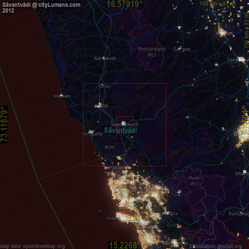
» Earth at Night: Flat Maps 2012, 2016