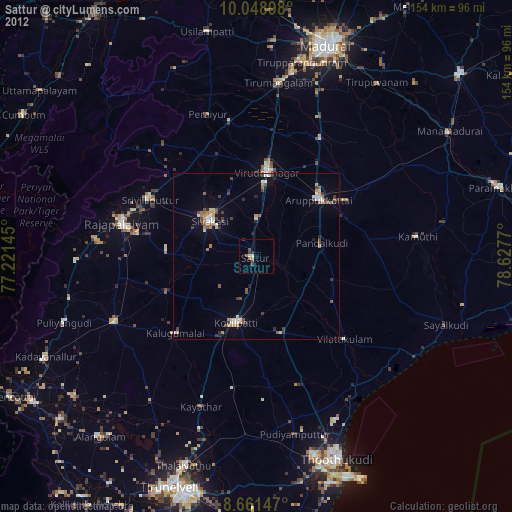
Sattur night lights from space
Night Light of Sattur (Tamil Nadu) from space (India) Src. Average luminocity for 10x10km area is 14.4675% and for 50x50km: 8.8167%.
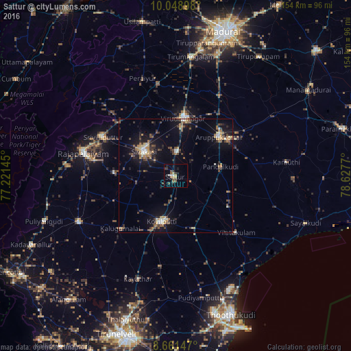
Analysis of Sattur night lights 2016
Square area 10x10 km:
 0.43%
0.43%90-99
2.16%80-89
0.65%70-79
2.6%60-69
1.08%50-59
4.55%40-49
1.95%30-39
3.46%20-29
4.11%10-19
1.52%0-9
77.49%Square area 50x50 km:
0.38%90-99
1.1%80-89
0.72%70-79
1.32%60-69
1.04%50-59
1.27%40-49
1.84%30-39
1.88%20-29
2.24%10-19
7.29%0-9
80.93%Clear (daylight) street map image can be seen on geolist.org.
Map coordinates:
10° 2' 56.3" North, 77° 13' 17.2" East
9° 21' 21.3" North, 77° 55' 28.5" East
8° 39' 41.3" North, 78° 37' 39.7" East
Some cities around Sattur sort by population:
• Kovilpatti
21.3 km =13.2 mi,  196°
196°
• Aruppukkottai
25.4 km =15.8 mi,  47°
47°
• Sivakasi
17.4 km =10.8 mi,  306°
306°
• Virudunagar
25.7 km =16 mi,  8°
8°
• Tiruttangal
17.3 km =10.7 mi,  324°
324°
• Ettaiyapuram
24.6 km =15.3 mi,  162°
162°
• Pudūr
24.5 km =15.2 mi,  106°
106°
• Elāyirampannai
14.5 km =9 mi,  228°
228°
1256995 (p: 31,856)
Sources (retrieved 2019-11-25):
» Earth at Night: Flat Maps 2012, 2016