Aruppukkottai night lights from space
Night Light of Aruppukkottai (Tamil Nadu) from space (India) Src. Average luminocity for 10x10km area is 28.4156% and for 50x50km: 5.811%.
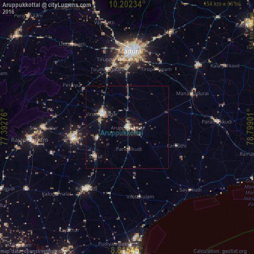
Analysis of Aruppukkottai night lights 2016
Square area 10x10 km:
 1.95%
1.95%90-99
4.55%80-89
3.03%70-79
6.28%60-69
6.71%50-59
3.03%40-49
1.95%30-39
2.6%20-29
4.11%10-19
32.25%0-9
33.55%Square area 50x50 km:
0.29%90-99
0.64%80-89
0.32%70-79
0.78%60-69
0.72%50-59
0.99%40-49
1.12%30-39
1.66%20-29
1.15%10-19
4.04%0-9
88.29%Clear (daylight) street map image can be seen on geolist.org.
Map coordinates:
10° 12' 8.4" North, 77° 23' 33.9" East
9° 30' 34.6" North, 78° 5' 45.2" East
8° 48' 55.6" North, 78° 47' 56.4" East
Some cities around Aruppukkottai sort by population:
• Sivakasi
33.3 km =20.7 mi,  258°
258°
• Virudunagar
17.3 km =10.7 mi,  299°
299°
• Tiruttangal
28.9 km =18 mi, 264°
• Sattur
25.4 km =15.8 mi,  227°
227°
• Kariapatti
18.4 km =11.4 mi,  1°
1°
• Kamuthi
32.5 km =20.2 mi,  110°
110°
• Kallupatti
34.1 km =21.2 mi,  312°
312°
• Pudūr
24.7 km =15.3 mi,  169°
169°
1278340 (p: 85,369)
Sources (retrieved 2019-11-25):
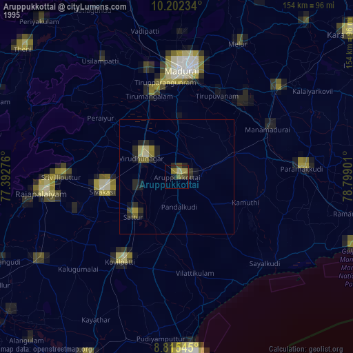
» NASA, Earths city lights 1995
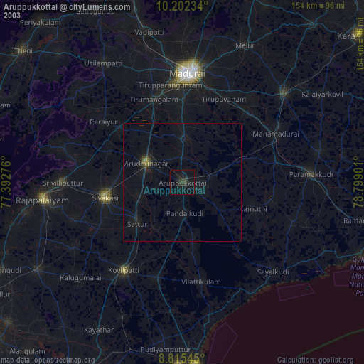
» NASA city lights 2003
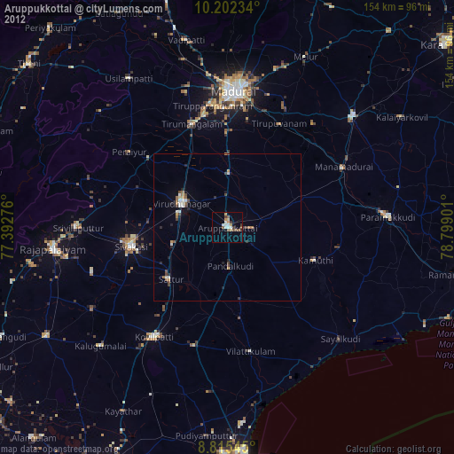
» Earth at Night: Flat Maps 2012, 2016