Tiruttangal night lights from space
Night Light of Tiruttangal (Tamil Nadu) from space (India) Src. Average luminocity for 10x10km area is 32.8377% and for 50x50km: 8.3294%.
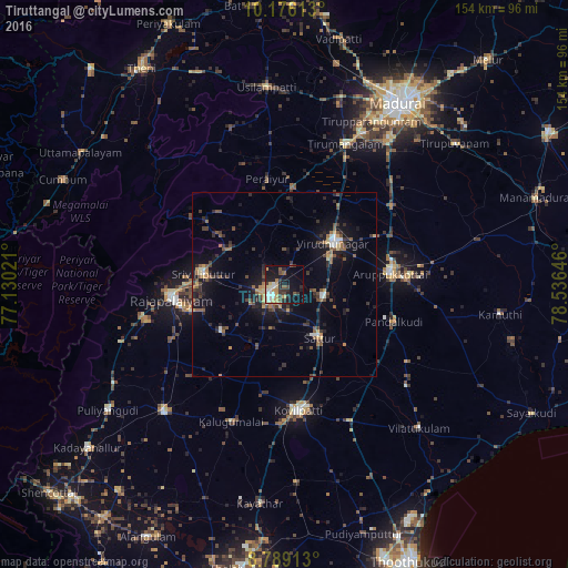
Analysis of Tiruttangal night lights 2016
Square area 10x10 km:
 3.46%
3.46%90-99
7.79%80-89
3.25%70-79
6.06%60-69
2.16%50-59
3.25%40-49
4.76%30-39
5.19%20-29
7.58%10-19
30.09%0-9
26.41%Square area 50x50 km:
0.37%90-99
0.88%80-89
0.45%70-79
1.08%60-69
0.93%50-59
1.5%40-49
1.67%30-39
1.98%20-29
2.64%10-19
6.8%0-9
81.68%Clear (daylight) street map image can be seen on geolist.org.
Map coordinates:
10° 10' 34.1" North, 77° 7' 48.8" East
9° 28' 60" North, 77° 49' 60" East
8° 47' 20.9" North, 78° 32' 11.3" East
Some cities around Tiruttangal sort by population:
• Aruppukkottai
28.9 km =18 mi,  84°
84°
• Srivilliputhur
22.1 km =13.7 mi,  278°
278°
• Sivakasi
5.4 km =3.4 mi,  226°
226°
• Virudunagar
17.7 km =11 mi,  50°
50°
• Sattur
17.3 km =10.7 mi,  144°
144°
• Kallupatti
26.2 km =16.3 mi,  8°
8°
• Peraiyur
28.5 km =17.7 mi,  350°
350°
• Elāyirampannai
23.7 km =14.7 mi,  182°
182°
1254343 (p: 54,499)
Sources (retrieved 2019-11-25):
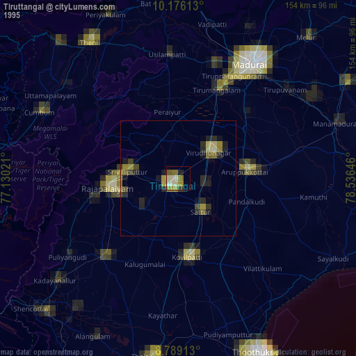
» NASA, Earths city lights 1995
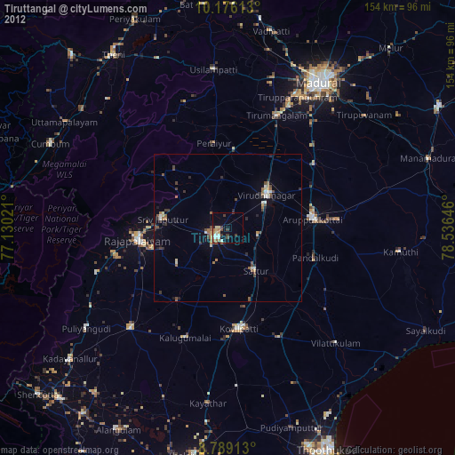
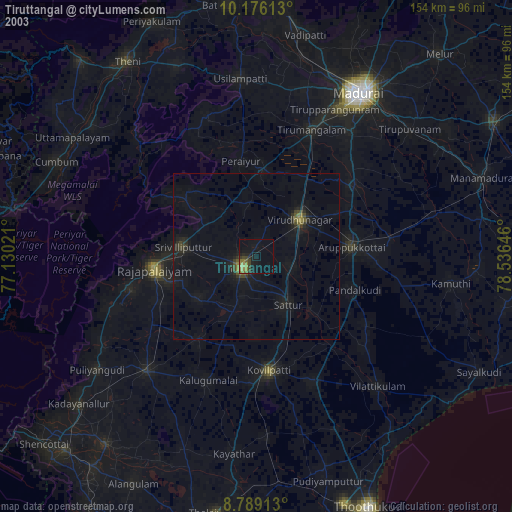
» NASA city lights 2003
» Earth at Night: Flat Maps 2012, 2016