Kovilpatti night lights from space
Night Light of Kovilpatti (Tamil Nadu) from space (India) Src. Average luminocity for 10x10km area is 29.5693% and for 50x50km: 3.7166%.
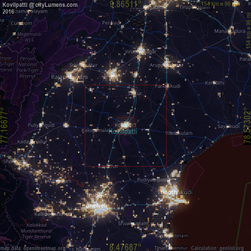
Analysis of Kovilpatti night lights 2016
Square area 10x10 km:
 1.95%
1.95%90-99
6.71%80-89
3.9%70-79
3.68%60-69
4.11%50-59
4.33%40-49
5.19%30-39
2.81%20-29
5.63%10-19
31.6%0-9
30.09%Square area 50x50 km:
0.1%90-99
0.48%80-89
0.27%70-79
0.35%60-69
0.37%50-59
0.71%40-49
0.99%30-39
0.96%20-29
1.22%10-19
1.81%0-9
92.74%Clear (daylight) street map image can be seen on geolist.org.
Map coordinates:
9° 51' 54.4" North, 77° 10' 0.4" East
9° 10' 18" North, 77° 52' 11.6" East
8° 28' 36.7" North, 78° 34' 22.9" East
Some cities around Kovilpatti sort by population:
• Sivakasi
31.9 km =19.8 mi,  345°
345°
• Sattur
21.3 km =13.2 mi,  16°
16°
• Kalugumalai
18.2 km =11.3 mi,  262°
262°
• Vilattikulam
32.8 km =20.4 mi,  97°
97°
• Ettaiyapuram
13.6 km =8.5 mi, 103°
• Kayattār
27 km =16.8 mi,  202°
202°
• Pudūr
32.4 km =20.1 mi,  65°
65°
• Elāyirampannai
12 km =7.5 mi,  335°
335°
1265891 (p: 90,296)
Sources (retrieved 2019-11-25):
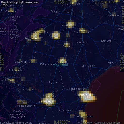
» NASA, Earths city lights 1995
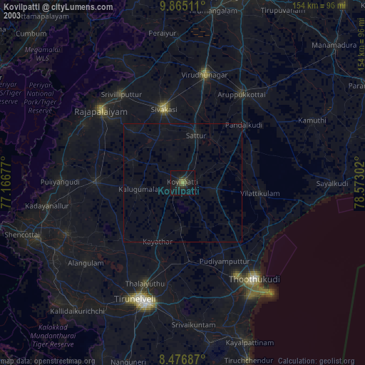
» NASA city lights 2003
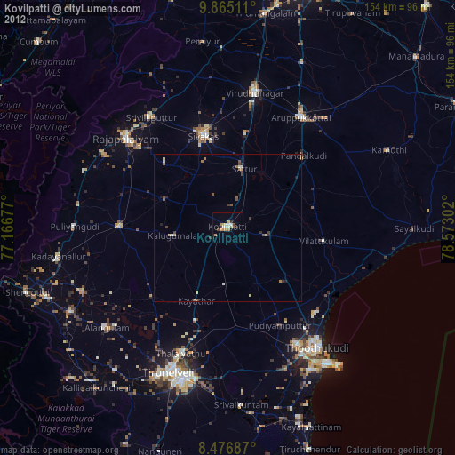
» Earth at Night: Flat Maps 2012, 2016