Sathyamangalam night lights from space
Night Light of Sathyamangalam (Tamil Nadu) from space (India) Src. Average luminocity for 10x10km area is 24.7771% and for 50x50km: 5.7486%.
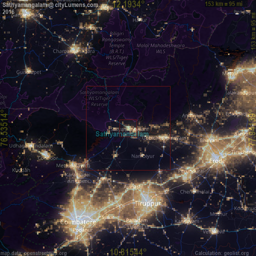
Analysis of Sathyamangalam night lights 2016
Square area 10x10 km:
 0%
0%90-99
2.16%80-89
4.76%70-79
4.55%60-69
1.95%50-59
1.52%40-49
8.66%30-39
6.28%20-29
7.14%10-19
25.54%0-9
37.45%Square area 50x50 km:
0%90-99
0.27%80-89
0.61%70-79
0.53%60-69
0.55%50-59
1.12%40-49
1.81%30-39
1.98%20-29
2.28%10-19
5.74%0-9
85.13%Clear (daylight) street map image can be seen on geolist.org.
Map coordinates:
12° 11' 36.2" North, 76° 32' 6.5" East
11° 30' 18.9" North, 77° 14' 17.7" East
10° 48' 55.6" North, 77° 56' 29" East
Some cities around Sathyamangalam sort by population:
• Mettupalayam
40.2 km =25 mi,  235°
235°
• Gobichettipalayam
22.9 km =14.2 mi,  104°
104°
• Avinashi
34.9 km =21.7 mi,  174°
174°
• Anthiyur
39.1 km =24.3 mi,  78°
78°
• Sirumugai
32.6 km =20.3 mi,  231°
231°
• Annur
33.3 km =20.7 mi,  205°
205°
• Nambiyūr
18.7 km =11.6 mi,  151°
151°
• Punjai Puliyampatti
18.8 km =11.7 mi,  204°
204°
1256989 (p: 34,011)
Sources (retrieved 2019-11-25):
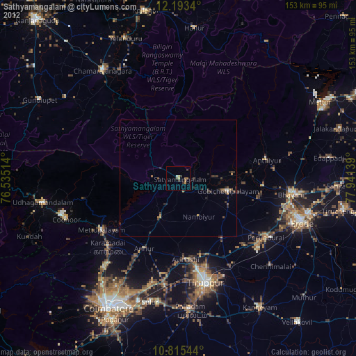
» Earth at Night: Flat Maps 2012, 2016